
History
The Anglo-Normans arrived in southwestern Wales at the end of the 11th century. It was then that Roger de Montgomery, Earl of Shrewsbury took over Pembrokeshire, and Henry de Beaumont, Earl of Warwick conquered the Gower peninsula. Over the following decades, the Normans expanded their territory and secured new acquisitions by building strongholds at importent points. Built in the first quarter of the 12th century, Llansteffan Castle was one of these new strongholds, erected to secure the mouth of the Tywi River.
It is not known who exactly founded the first castle in Llansteffan. The oldest preserved record about it from 1146, gave information about the capture of the castle by Maredudd ap Gruffydd and his brothers Cadell and Rhys. An attempt to recapture it in the same year failed. It was recaptured by the Normans only in 1158, when the Welsh lost control over the surrounding lands. At the end of the 12th century, Llansteffan was to be in the possession of a certain Geoffrey Marmion and then, through the marriage of his daughter Albredy, become property of the knight William of the Camville family, who probably began rebuilding the castle into a stone one. The defense was not yet very strong in 1189, when Llansteffan was captured by the Welsh ruler Rhys ap Gruffydd (Lord Rhys). William regained his seat in 1192 and borrowed a sum of money from the Sheriff of Gloucester to continue the construction works. Llansteffan was again conquered by Llywelyn ab Iorwerth in 1215. It remained in Welsh hands until 1223, when the Camville family recaptured the stronghold and continued further expansion. Geoffrey de Camville probably founded the gatehouse and the cylindrical tower at that time.
Despite the expansion from the first half of the 13th century, the castle was conquered by the Welsh in 1257. This time, the cause of the fall was the weakening of the garrison, which set out with other English troops to besiege Dinefwr Castle. Llansteffan became vulnerable, when this English army was destroyed by the forces of Maredudd ab Owain and Maredudd ap Rhys at the Battle of Coed Llathen and then in the ambush at Cymerau. By the 1270s, the castle had once again belonged to the Camville family. Its then-owner, another named Geoffrey, mindful of past defeats, significantly expanded and fortified the castle outer bailey by the late 1280s.
In 1338, the male line of the Camville family ended and Llansteffan through marriage passed into the hands of Richard Penrees, a powerful magnate with the vast lands in Gower, centered around Penrice Castle. In 1367, King Edward III ordered Robert de Penres to repair and strengthen the castle, even sending a certain Rhys ap Griffith to oversee this work. Ten years later, Robert lost his fortune as a result of a conviction for killing a woman in Llansteffan. Until its execution in 1388, the castle was under the management of Simon Burley, the tutor of King Richard II, but at the end of the 14th century it returned to the Penres family.
During the Welsh rebellion of Owain Glyndŵr at the beginning of the 15th century, the castle fell into the hands of insurgents. However, it returned to the hands of the English and in 1403 King Henry V handed it over to Sir John de Penres, as a reward for recapturing castle from the hands of the Welsh. In the following years of the 15th century, Llansteffan quite often changed owners who did not live permanently in the castle and did not invest in it. Only when in 1495 king Henry VII gave it to his uncle, Jasper Tudor, he made some repairs at the gate of the outer bailey, its fortifications and buildings. Despite this, in the 16th century, the castle was again neglected and fell into ruin.
Architecture
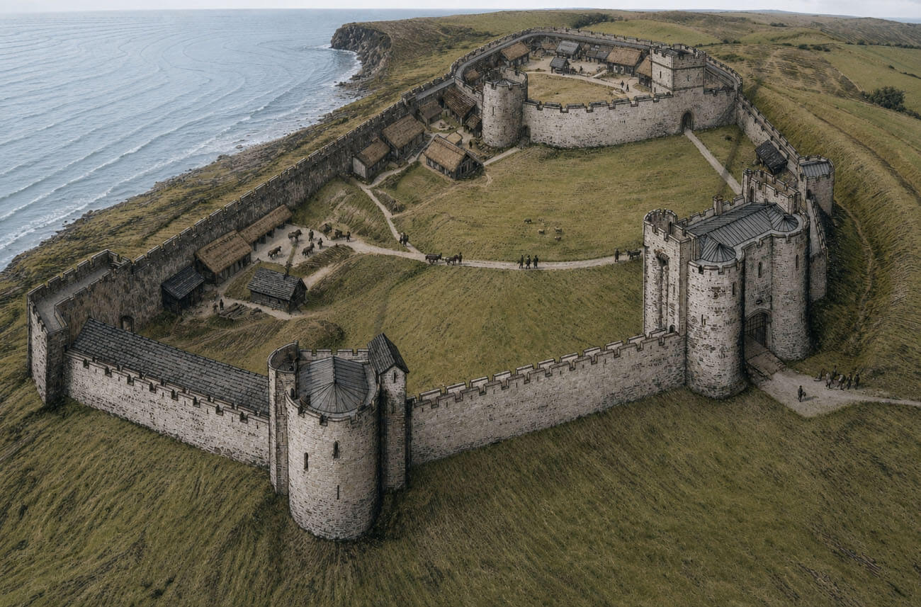
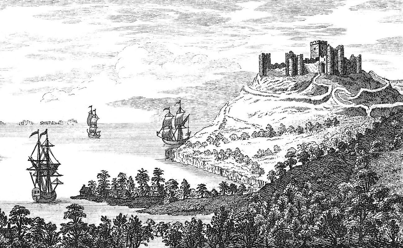
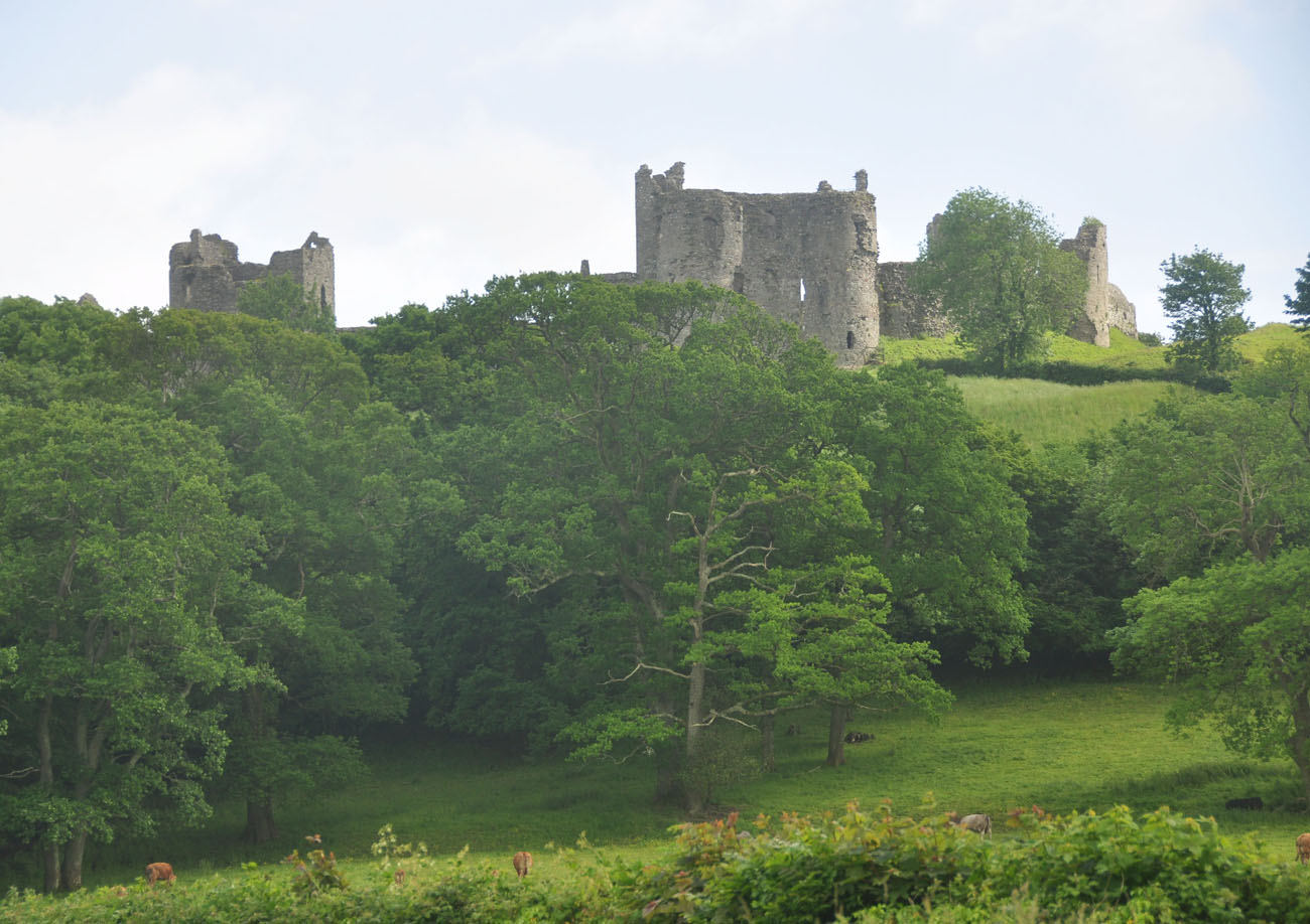
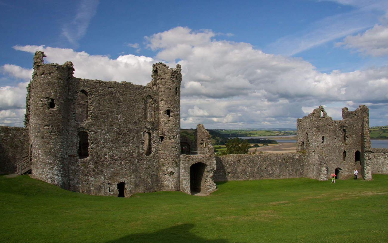
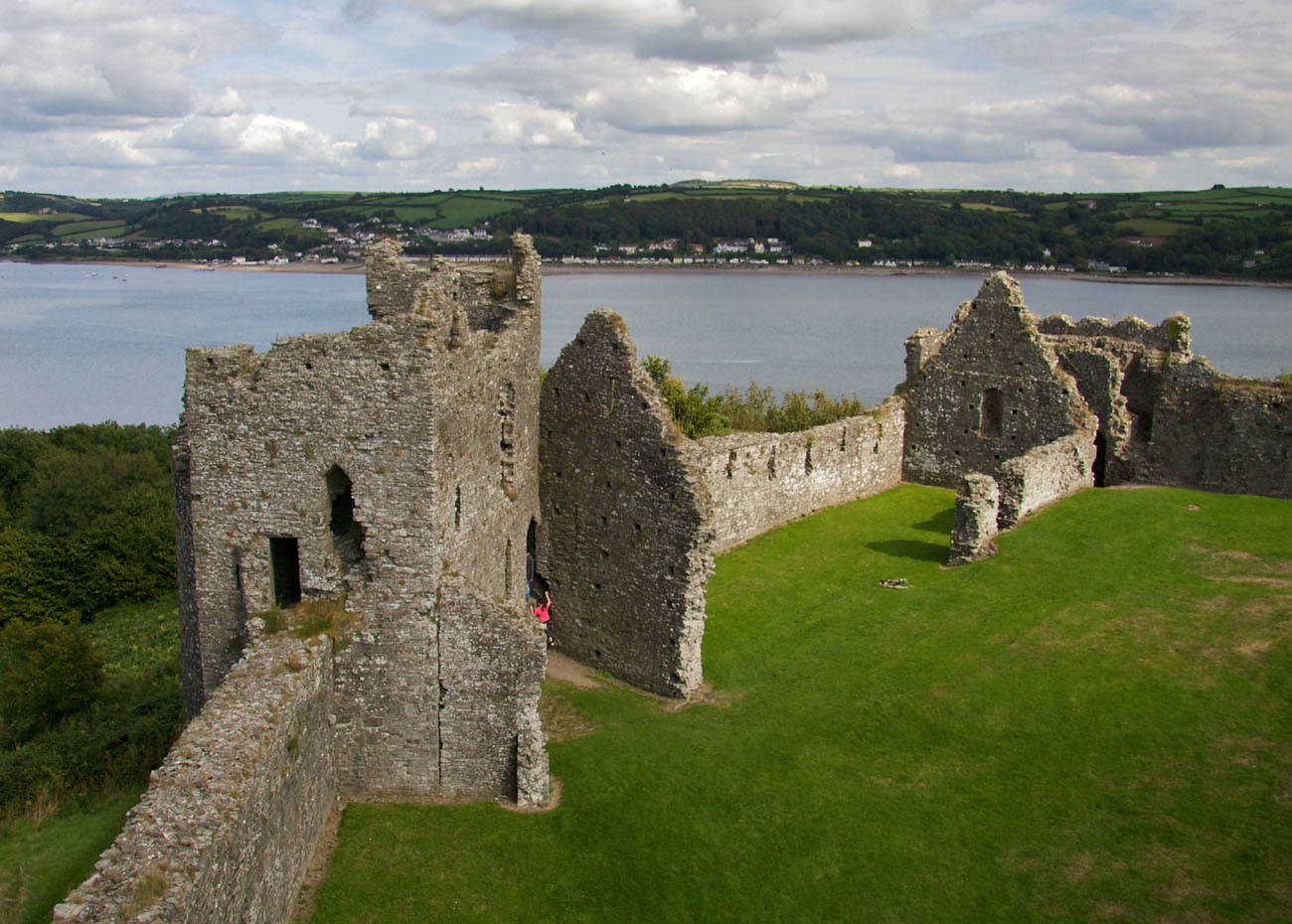
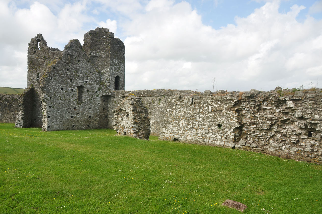
Llansteffan Castle occupied the eastern end of a highly elongated coastal hill, 45 meters above sea level. It was protected by steep and high eastern and especially southern slopes, which sloped down towards the mouth of the River Tywi, which flows into Carmarthen Bay. From the other sides, the direct approach was somewhat gentler, so the north, west, and partly east sides were protected by a double ditch and an earthen rampart. Only about three hundred meters west of the castle did the hill end in a deep valley of a small stream, while about one hundred meters north of the castle, a depression separated the castle hill from the next prominence.
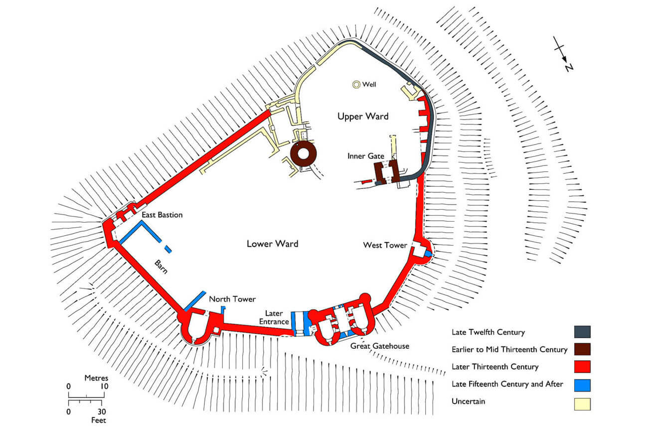
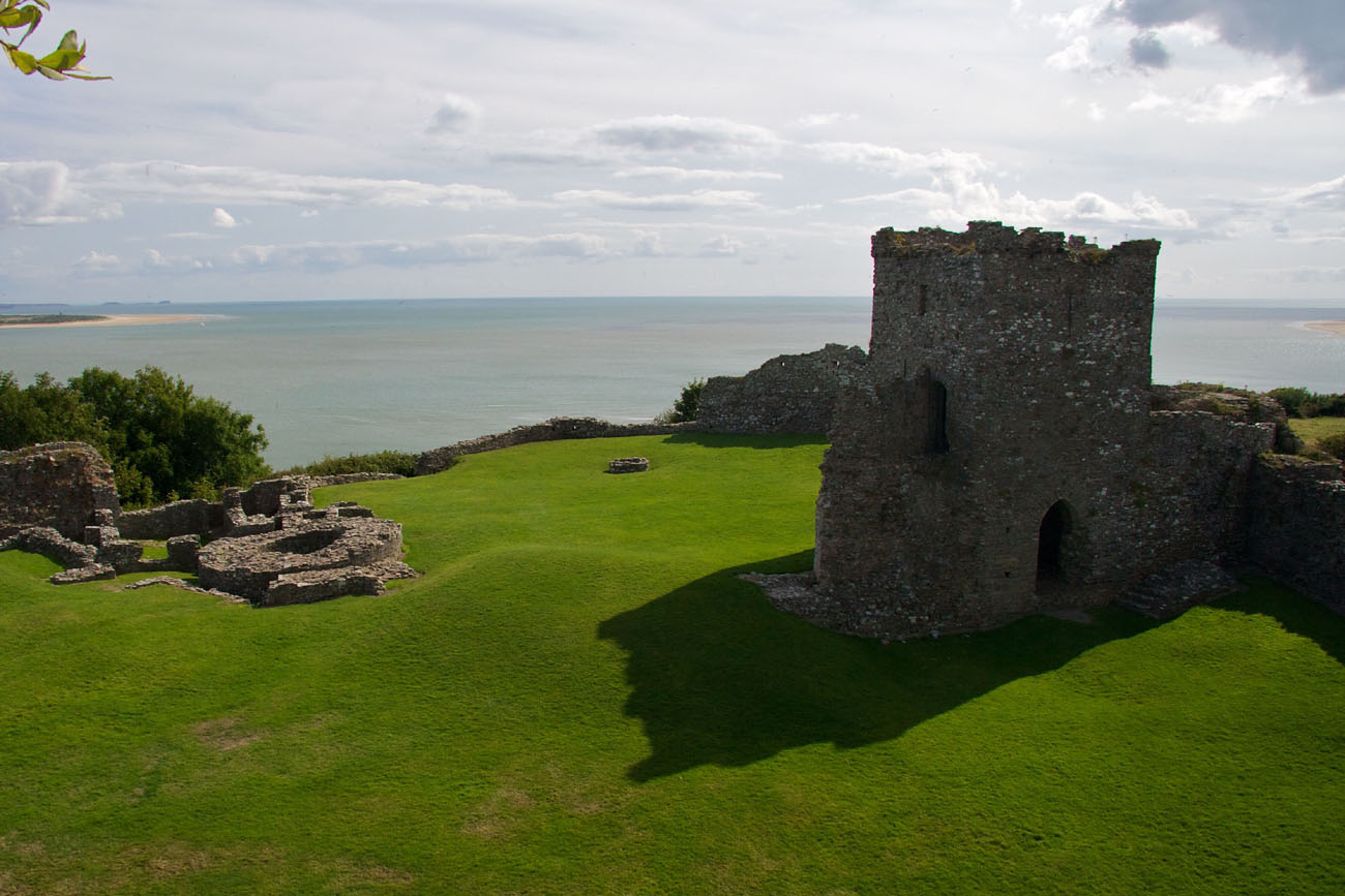
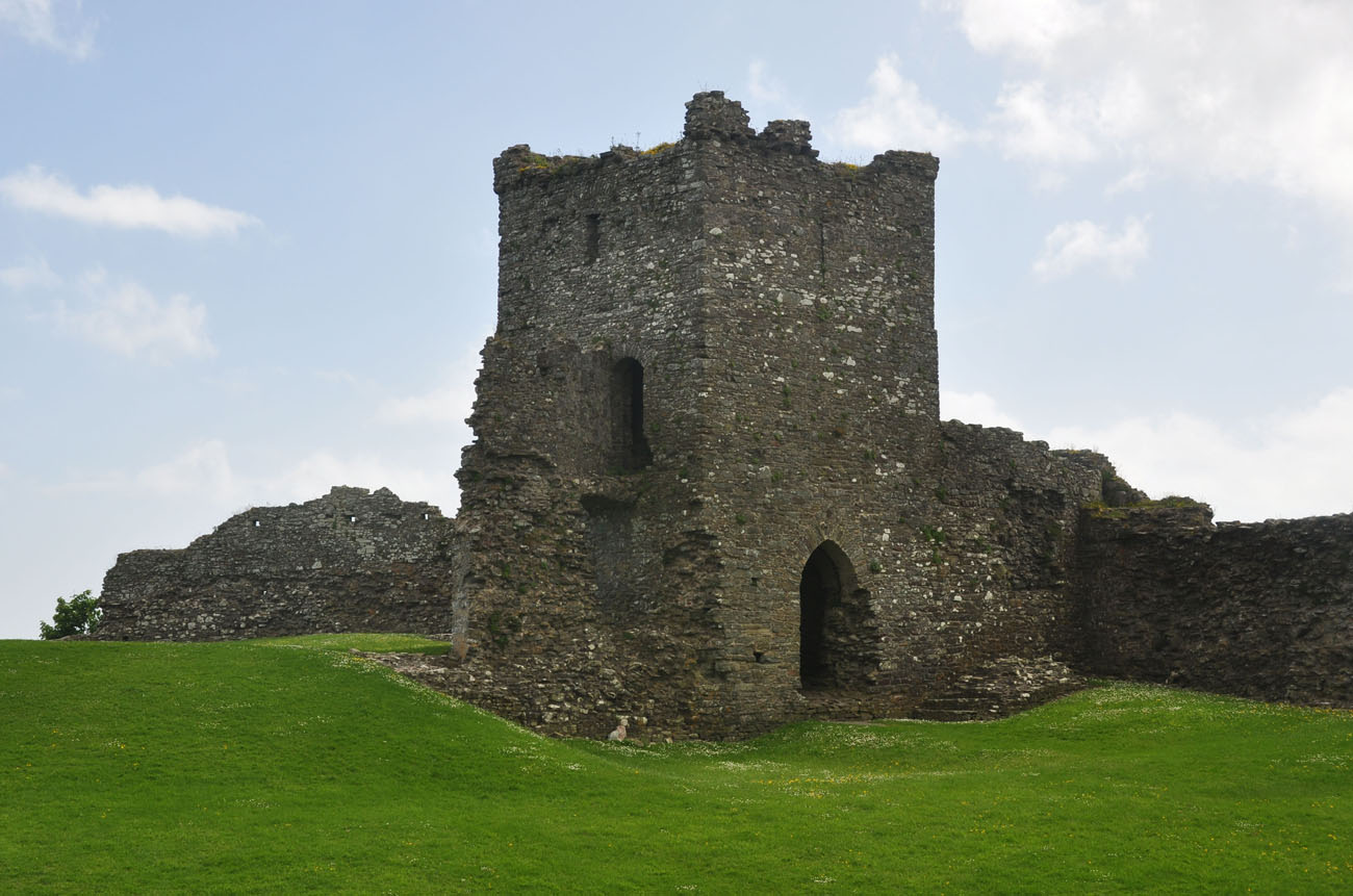
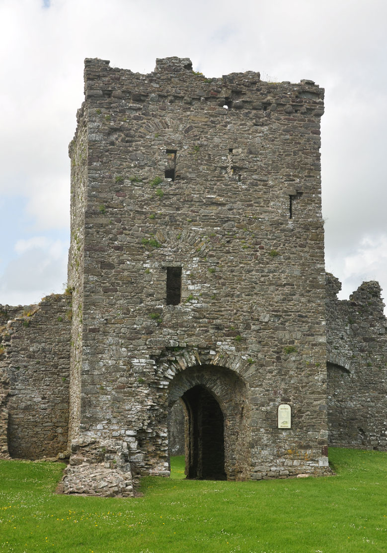
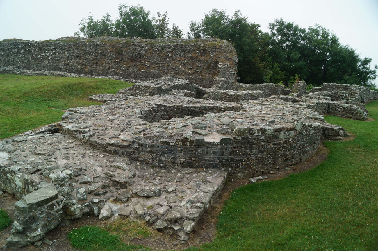
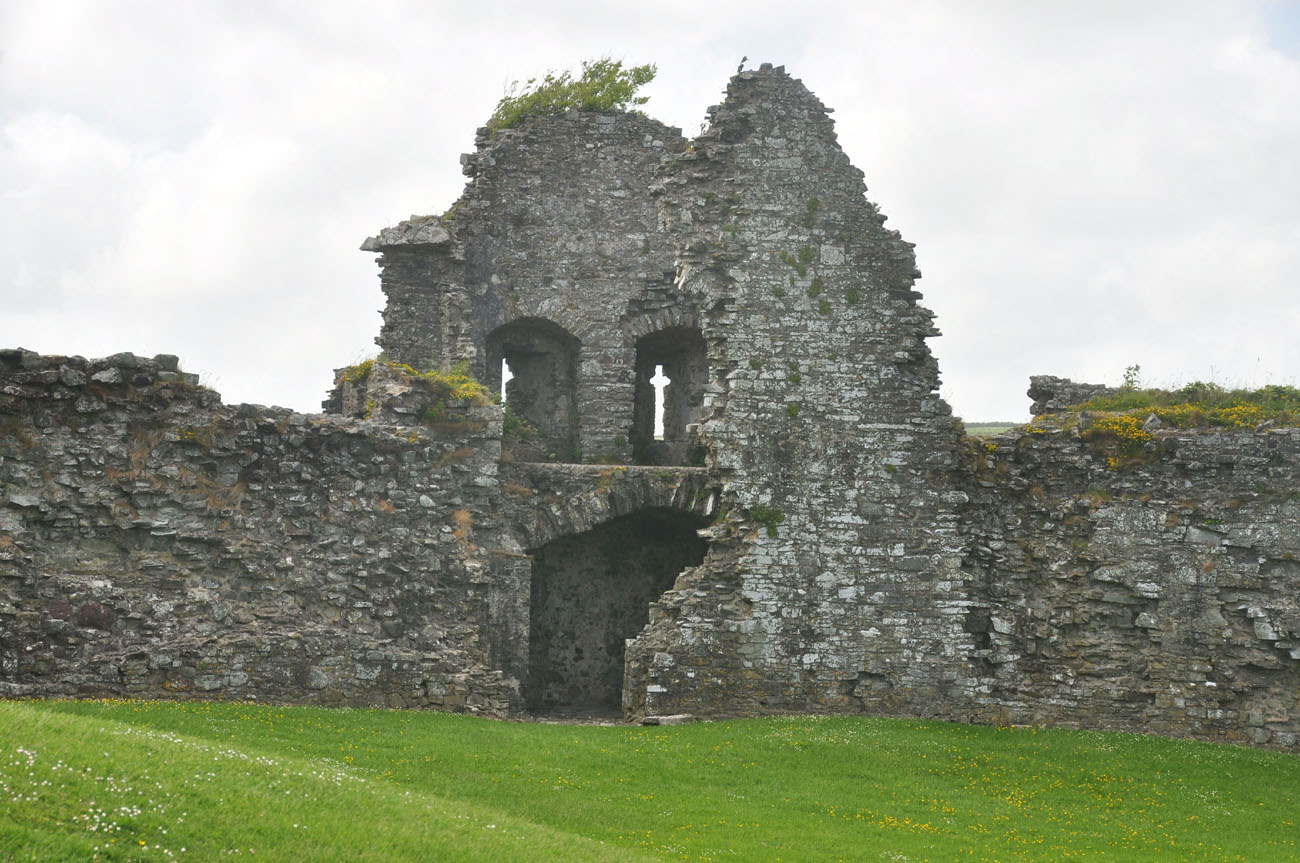
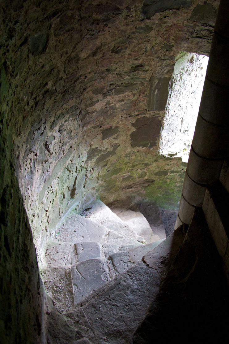
The primary form of Llansteffan took the form of a wood and earth fortification ring. The construction of stone fortifications began at the end of the 12th century. At that time, a defensive wall was erected of a polygonal plan with gently curving corners, which separated an internal courtyard with a size of 45 x 33 meters. This wall was only about 1 meter thick, but in the second quarter of the 13th century it was reinforced with a cylindrical defensive tower with a diameter of about 6 meters on the eastern side of the perimeter and a four-sided gatehouse to the north with sides 6.5 meters long. The gatehouse had a passage in the ground floor, closed with a portcullis and two doors, and two upper floors connected by a staircase in the south-east corner. The first floor was connected by a passage with a wall-walk in the crown of the wall, while the entire building was located inside the perimeter, inside the courtyard.
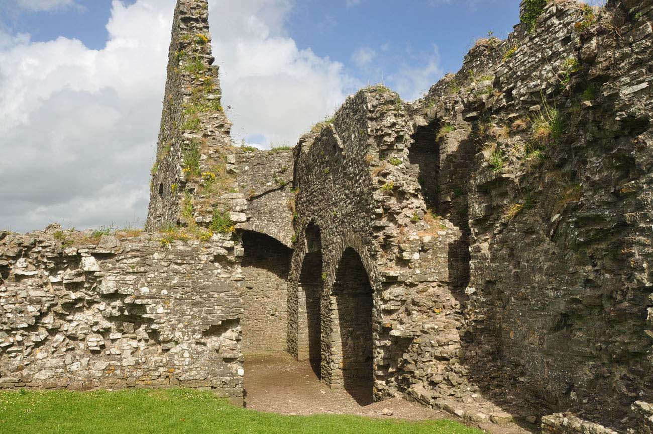
In the second half of the 13th century the outer bailey was rebuilt into a stone one, the defensive wall of which delimited the vast lower courtyard on the eastern side. On the north side, it was connected with the older fortifications of the upper ward, which were partially, in the most endangered section, thickened at that time and reinforced from the side of the courtyard with semicircular arcades. The outer bailey’s wall was 1.8 meters thick and 6 meters high to the level of the wall-walk (another 1.5-2 meters high had to have a parapet and battlement).
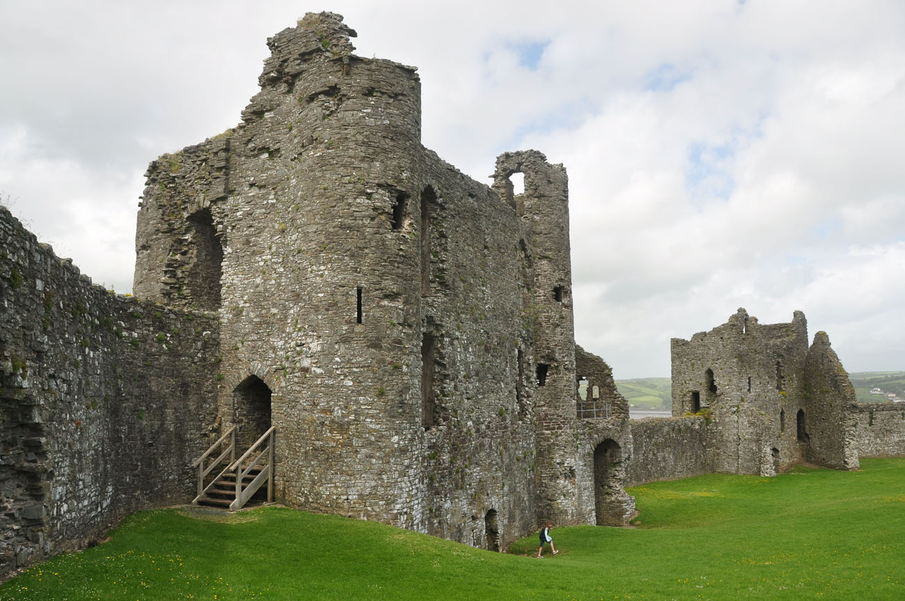
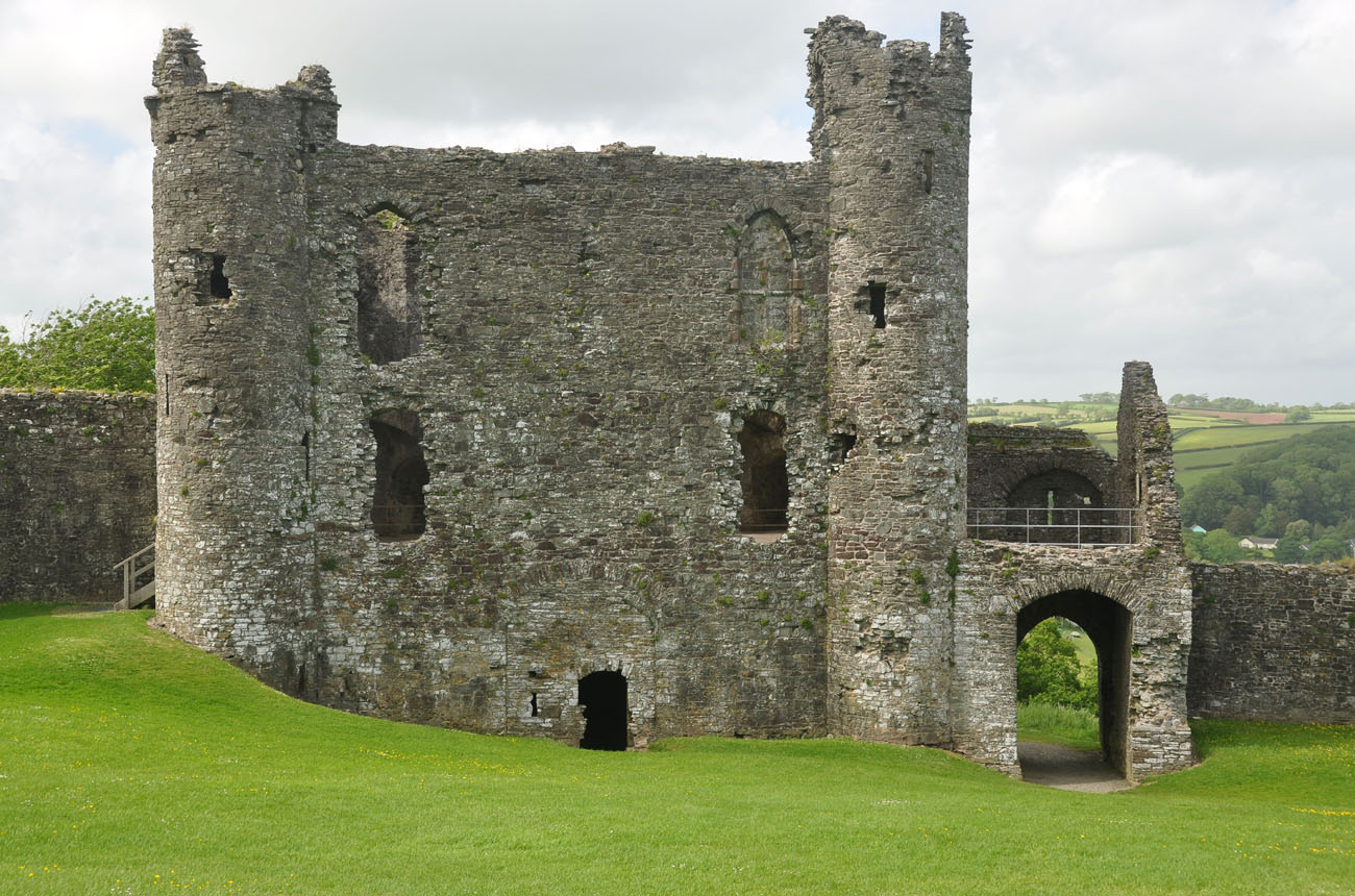
The outer bailey wall was reinforced by two semicircular towers on the north-east and north-west sides: the smaller one with a diameter of 7.5 meters and the larger one with a diameter of about 8 meters. Between them, a massive gatehouse with dimensions of 10.5 x 17 meters was erected, in the form of two towers flanking the gate’s passage, very similar to the gate at Caerphilly Castle. The eastern corner of the outer bailey was strengthened by a tower-like projection, which was basically a thickened and raised fragment of the wall. This thickening allowed to place recesses in the ground floor, and above the latrines, reached by a spiral staircase connected also to the upper combat level.
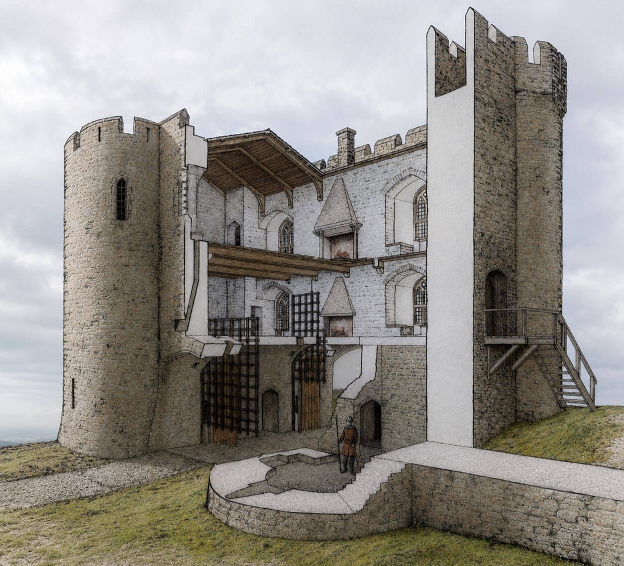
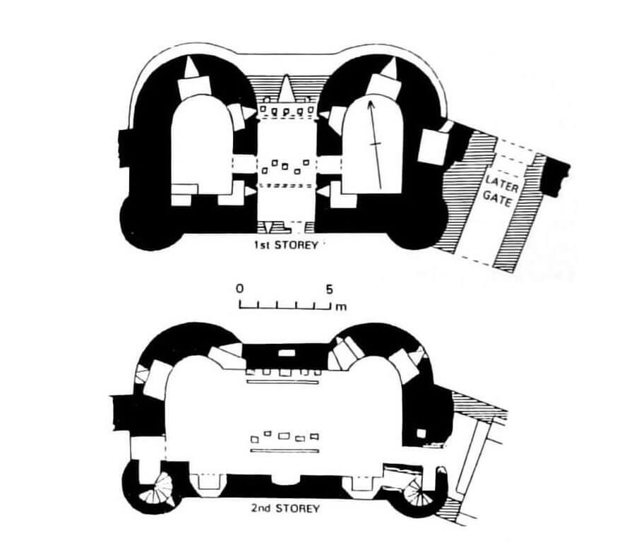
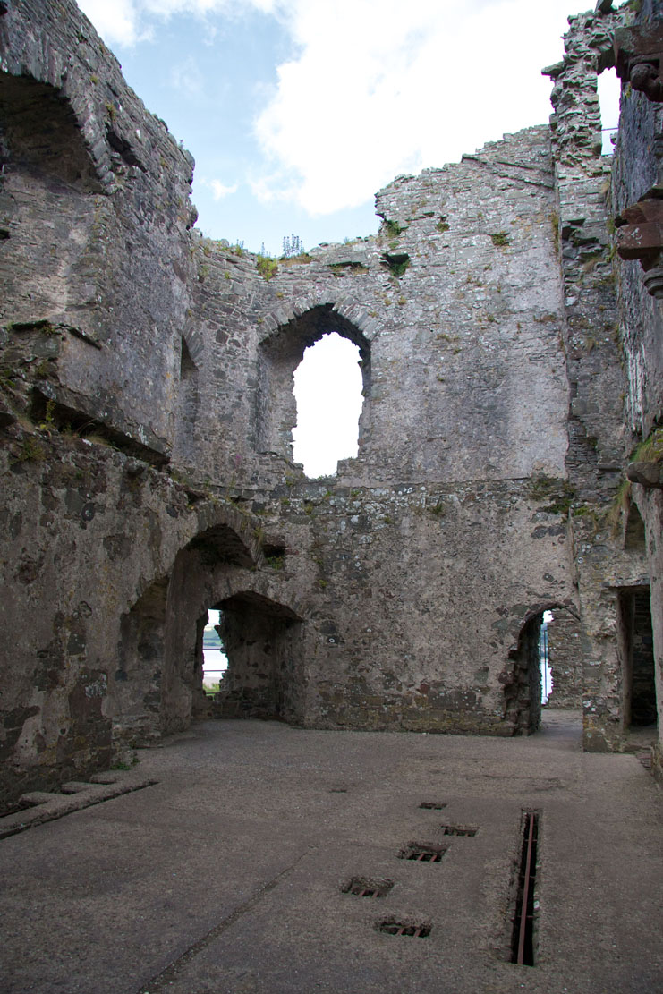
The northern gatehouse from the courtyard side housed two communication towers (one led to the latrines, and the other to the upper floor and battlements), and in the ground floor two vaulted rooms for guards, located on both sides of the passage and accessible only from it. The passage was closed with two portcullises and two two-leaf doors set behind them and guarded by upper loops, the so-called murder holes (two sets of five loops). The first and second floors had two large rooms heated with fireplaces. The entrance led from the west side, via wooden stairs to the level of the first floor. The living rooms were also connected with the wall-walk, but the difference in the height of the ground meant that the western curtain connected with the second floor, and the eastern curtain with the first floor. Of course, there were also latrines, which were placed on intermediate levels in the thickened eastern part of the building. In the fifteenth century, gateway was walled up in order to obtain more living rooms, and the new gate was pierced right next to, on the eastern side, in a low, four-sided gatehouse.
The semicircular north-east tower was three-story. The entrance to the tower was on the second floor, where there was a chamber with stairs leading to the third floor. Since both rooms had fireplaces and a latrine, this tower had to provide additional living quarters for the lord of the castle. The ground floor played a storage and defense role, as it was illuminated only by a single arrowslit. The tower was flanked on the sides by projections: the eastern semicircular one containing the aforementioned staircase, and the western, four-sided one with a latrine. The smaller semicircular north-west tower had a loop hole in the ground floor, but the first floor with a fireplace and a latrine probably also served residential purposes.
Between the northeastern tower and the eastern corner of the lower ward (outer bailey), an elongated barn stood in the 15th century. It likely was built on the site of an earlier representative great hall, as evidenced by the roof scars on the inner facade of the defensive wall. In this case, the eastern corner of the castle, reinforced and protected by the natural topography, would have formed part of a larger representative and residential complex.
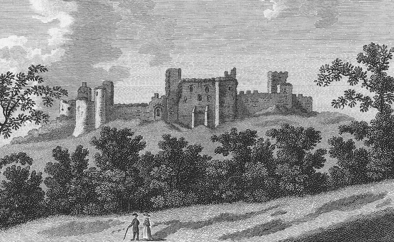
Current state
The castle has survived to modern times in the form of a ruin. The circumference of the defensive walls has been preserved for a longer length, especially from the north, east and west. From the inner ward a gatehouse is visible, only the foundations remain from the cylindrical tower. The lower ward with the outer gate (Great Gatehouse), the north-eastern tower, the ruins of the north-western tower, the barn and the east corner have been very well preserved. The entire site is open to visitors free of charge.

bibliography:
Kenyon J., The medieval castles of Wales, Cardiff 2010.
Lindsay E., The castles of Wales, London 1998.
Lloyd T., Orbach J., Scourfield R., The buildings of Wales. Carmarthenshire and Ceredigion, London 2006.
Salter M., The castles of South-West Wales, Malvern 1996.