
History
For the first time, Dinas Emrys was settled and fortified during the late Roman period. In the 5th and 6th centuries there was a seat of a wealthy leader, powerful enough to afford wine from distant parts of Europe. This is evidenced by the found fragments of amphoras from the eastern region of the Mediterranean. The location of Dinas Emrys ensured the safety of its inhabitants and control of the valley and the road running through it.
Fortifications were built again on Dinas Emrys in the second half of the 12th or the first half of the 13th century, this time in the form of a keep. Perhaps its founder was in the last quarter of the 12th century one of the feuding heirs of Owain Gwynedd, or in the second quarter of the 13th century Llywelyn ap Iorwerth (Llywelyn the Great), the greatest of the castle builders among the Welsh princes. In this case, the construction had to be carried out before 1240, the date of the ruler’s death.
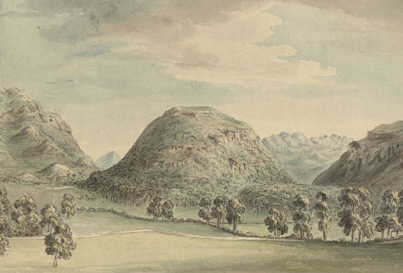
Tradition and legends link Dinas Emrys to king Vortigern, who was to flee to Wales due to the Saxons. His people worked hard every day trying to build the towers of the castle; but after returning the next morning, they found everything collapsed. This lasted for many weeks until Vortigern was advised to find a young boy born to a sorceress. The king sent his troops, and they eventually found him in Caer Myrddin (Carmarthen). The boy called Myrddin Emrys, today we know better under the name Merlin. He told Vortigern about dragons fighting on the hillside. When they were discovered, he explained that the white Saxon dragon who won the battle, would soon be defeated by the Welsh red dragon.
Architecture
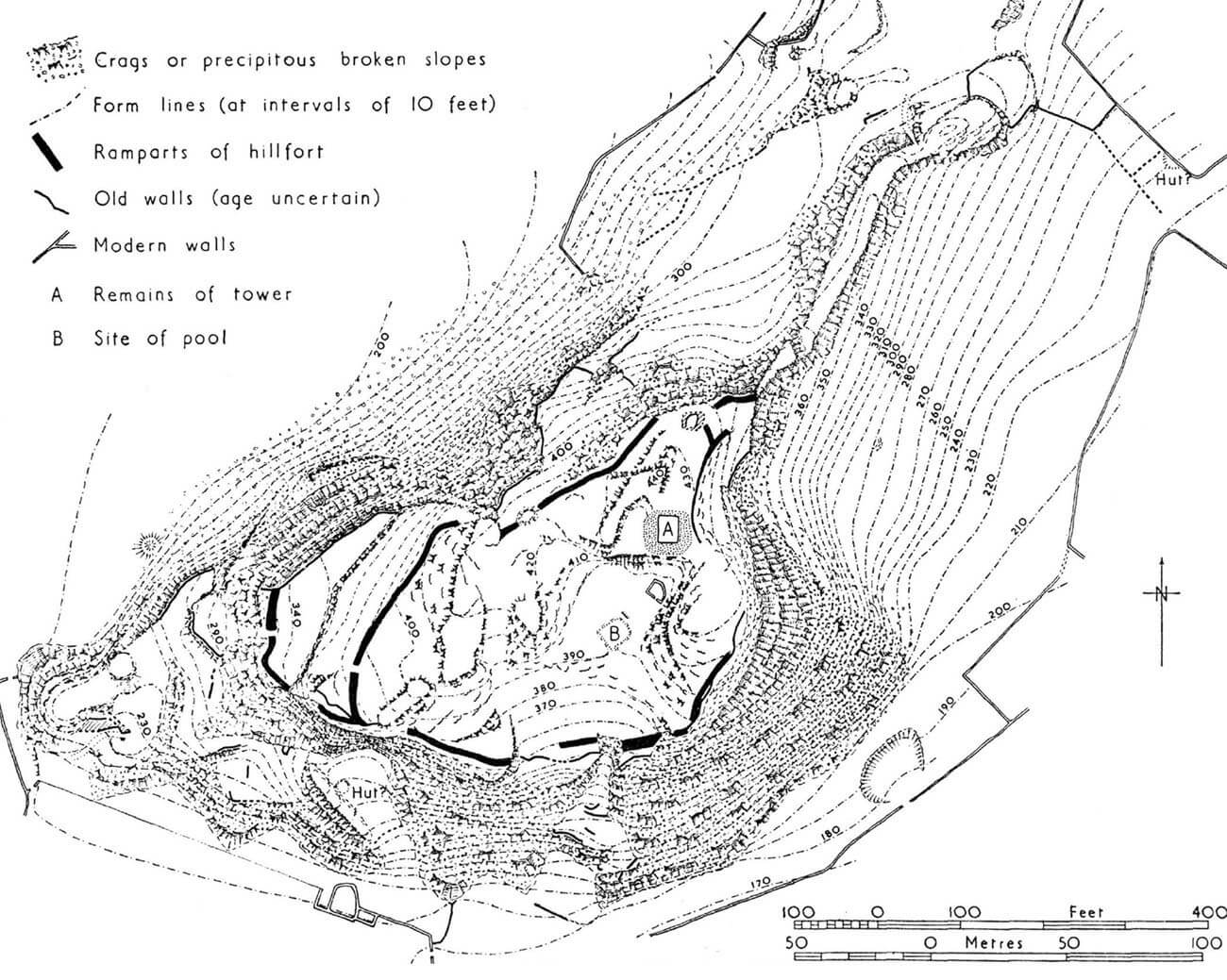
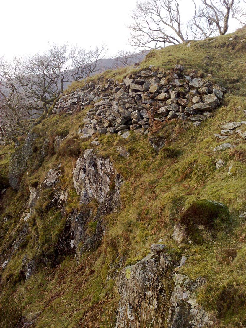
A hill about 130 meters high was selected for the construction of the fortifications, located on the north side of the Afon Glaslyn River, and at the same time on the eastern side of the mouth of a smaller tributary. The hill was fortified with a wall, irregular in plan, 2.5 to 3 meters thick, built along the edges of the cliffs, covering an area of about 10,000 m2 and dimensions of about 100 x 200 meters. It was built of stones that was not bonded with any mortar. It was thinner, and perhaps even completely absent in places best protected by the natural conditions of the terrain.
The original entrance was accessed by a steep path on the west side of the hill. About half of the height, it crossed the first wall, after about 70 meters the second, and after another 35 meters, the third wall. Further on, the road to the center of the settlement was hindered by a natural, rocky crag 3 meters high, ended by a chasm and forcing to follow a very narrow path.
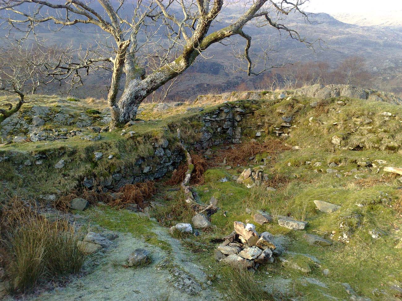
At the highest point of the hill, in its eastern part, a tower was erected on a quadrilateral plan – a keep measuring 9.7 x 7 meters and walls 1.2 meters thick. Its walls were made of stone combined with clay. On the south side of the tower there was an unidentified building made of stone laid without mortar, and on the south-west side a water tank carved in the rock.
Current state
To this day, only modest relics of defensive walls have survived, with a maximum height of less than a meter in some sections, and the foundations of the tower reaching about 1.1 meters in height, but buried in stone rubble. Admission to the ruins is free, but it must be remembered that they are relatively difficult to access.
bibliography:
Davis P.R., Castles of the Welsh Princes, Talybont 2011.
Davis P.R., Towers of Defiance. The Castles & Fortifications of the Princes of Wales, Talybont 2021.
Pettifer A., Welsh castles, Woodbridge 2000.
Salter M., The castles of North Wales, Malvern 1997.
The Royal Commission on The Ancient and Historical Monuments and Constructions in Wales and Monmouthshire. An Inventory of the Ancient and Historical Monuments in Caernarvonshire, volume II: central, the Cantref of Arfon and the Commote of Eifionydd, London 1960.