History
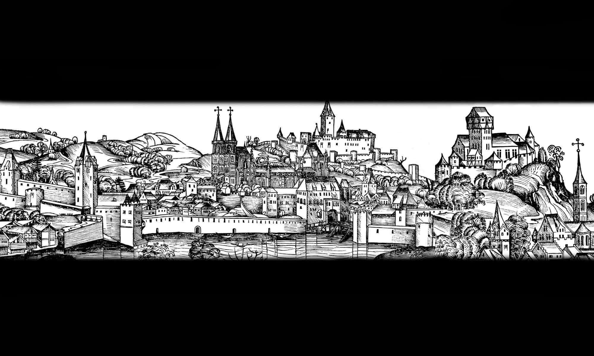
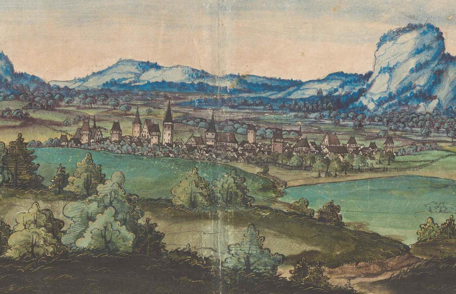
The construction of defensive walls in Środa Śląska (German: Neumarkt in Schlesien) began at the end of the 13th century, when the burghers of Środa applied to King Charles of Luxembourg for permission to erect them. The walls were led along the town borders and connected with the buildings of the castellan castle, erected a little earlier, at the beginning of the second half of the 13th century. Its first castellan, Dalebor of Niemcza, was mentioned by a document from 1269, while the first record of town fortifications appeared in 1283, generally speaking about the existence of town gates as a place to collect tolls. In 1324, the gate was for the first time mentioned by name, when the Wrocław Gate was noted.
In the fourteenth century, fortifications had to be repaired and modernized. This obligation rested with the townspeople, but in 1341 the new ruler of the principality, John of Bohemia, not wanting to discourage the inhabitants of Środa, gave the town a ten-year rent, paid by the Jews of Śróda to the royal coffers, to strengthen the town‘s defensive walls. These funds were allocated for the construction of seven towers. The document from 1392 left information that the burgrave Heinrich Renker concluded an agreement with the town regarding the use of the town moat. In this document, the Butcher’s Gate appeard in such a context that in the section from the round tower (most likely it was the castle tower) to the aforementioned gate, the burgrave and his successors gained the right to fish in the moat, as well as to grass on both its banks.
A little earlier, in 1327, the last Wrocław prince Henry VI gave the castle together with incomes for life to the knight Ticzka from Reideburg, but with the passing of the Wrocław principality under the sovereignty of the Czech Crown in 1335, the castle became the property of the Czech kings. Instead of a castellan, they appointed a burgrave, who was replaced by officials over time. From the time when Charles IV transferred the office of starosty of the principality to the council of the city of Wrocław, the castle became subject to Wrocław councilors. In 1444, the city council entrusted the office of the burgrave to a Leonard Azenheimer, a Bavarian captain, who proved to be energetic, but also arbitrary. Two years later he was imprisoned and beheaded in a public square for his rapes and robberies. Among the burgrave’s offenses there was also the weakening of the town walls by piercing various holes in them.
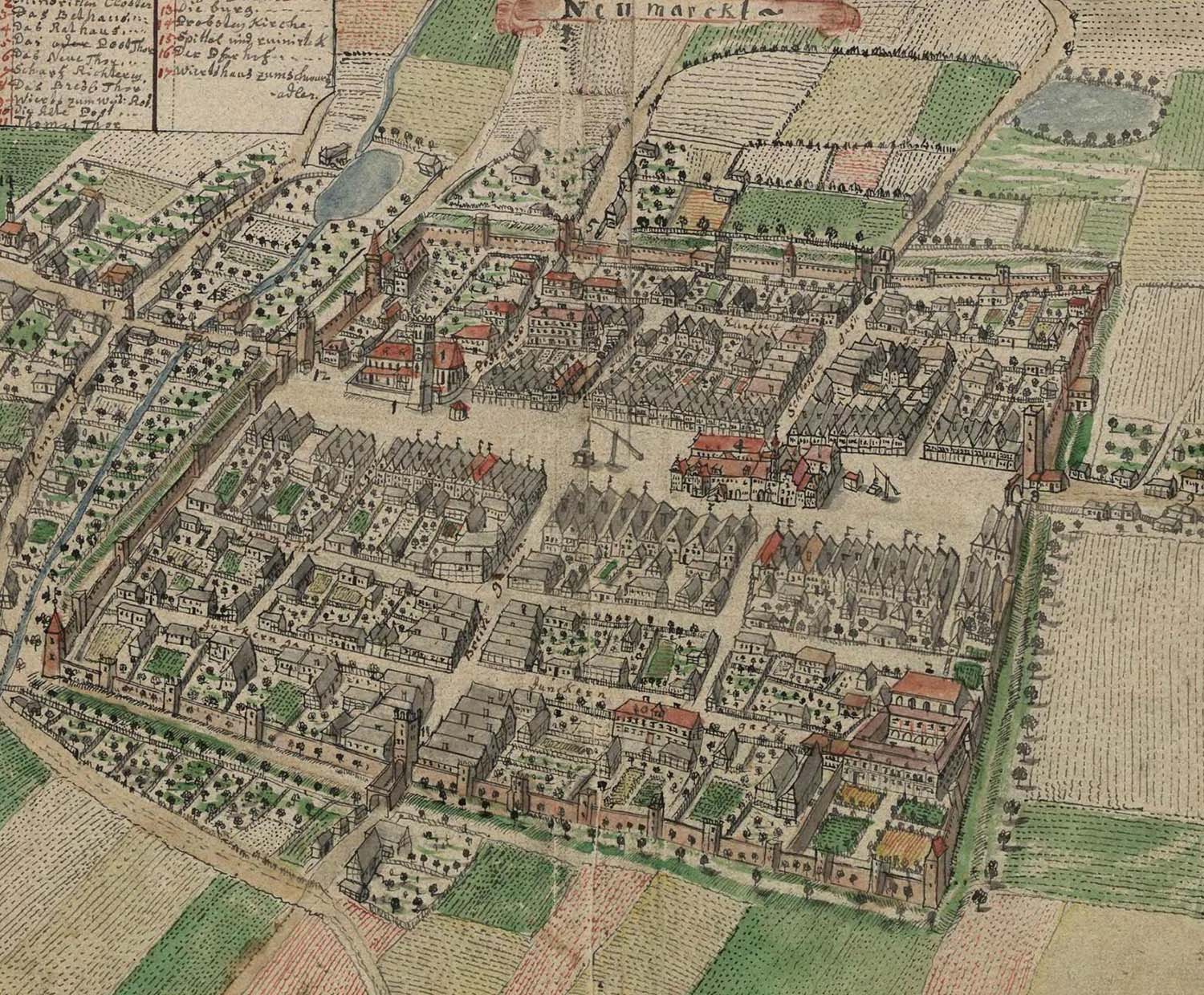
In 1514, the castle with affiliations was owned by Petrs von Sack, and then his son Bernard. The Sacks introduced many changes. They strengthened existing and erected new buildings, trying to raise living standards. Later, its owners often changed. In 1573, the time owner of the castle was Antoni von Mühlheim. There was a dispute between him and the town council due to the transformations being introduced. He ordered a opening to be pierced from the north in the castle wall and new window openings in the main tower, which seemed dangerous to the councilors because of the weakening of the town‘s defense system. Despite complaints, Mühlheim eventually carried out its modernizations.
In the Middle Ages, individual sections of the town walls, along with towers, were assigned to guilds, whose responsibility was to maintain and defend them in the event of an enemy invasion. The towers were inspected twice a year, and the guilds had to undertake repairs at their own expense. For example, the Legnica Tower was under the care of the locksmiths’ guild, the Świdnica (St. Thomas) Tower under the care of the tailors’ guild, the corner tower near the Franciscan friary under the care of the furriers’ guild, and the Wrocław Tower under the care of the shoemakers’ guild. Around 1500, a shooting fraternity was established in Środa, an organization that taught townspeople how to wield weapons and ensured their skills were perfected in the event of a need to defend the walls.
At the beginning of the 17th century, the town walls were thoroughly repaired, although they played no significant role during the Thirty Years’ War. In 1631, the town was captured and devastated by Saxon troops. Two years later, the suburbs were burned by the Swedes, and in 1635, a great fire depopulated much of the devastated Środa. The battles and fires likely damaged not only residential buildings and churches, but also the fortifications, especially their wooden elements (the section near the Butcher’s Gate was said to have been particularly damaged). In 1765, due to a complete change in military technology, the towers were lowered, dismantled to the height of the curtains. Then, in 1818, the walls were reduced in height by about a meter, and in the following years, the fortifications were transformed into alleys and promenades. At the end of the 19th century, during the widening of the streets, all the gates were slightened, as the long-decayed castle. In 1933, the eastern section of the walls was demolished, but from 1961 gradual repairs to the surviving fragments began, with the main renovation and reconstruction works carried out in 1976-1978.
Architecture
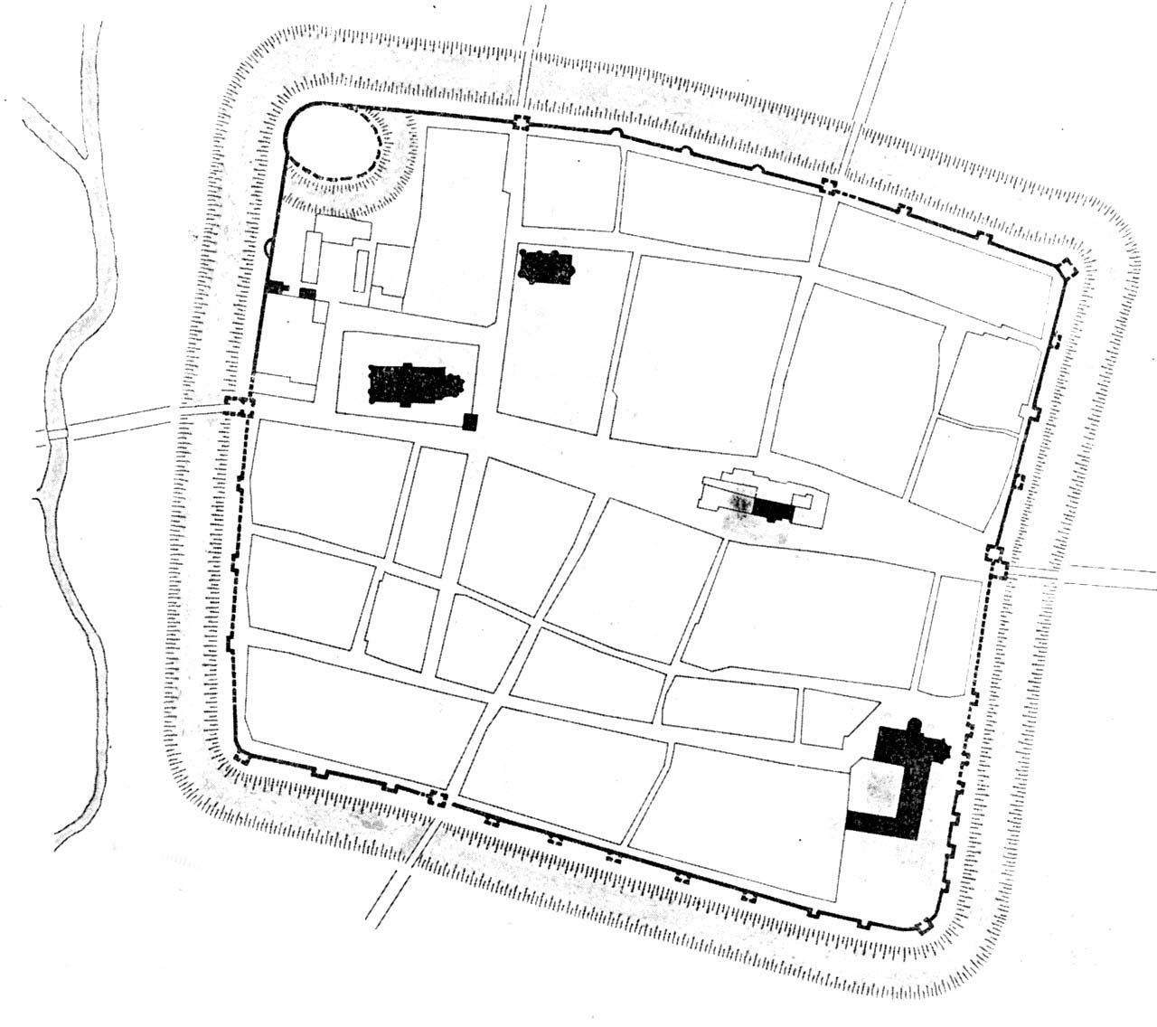
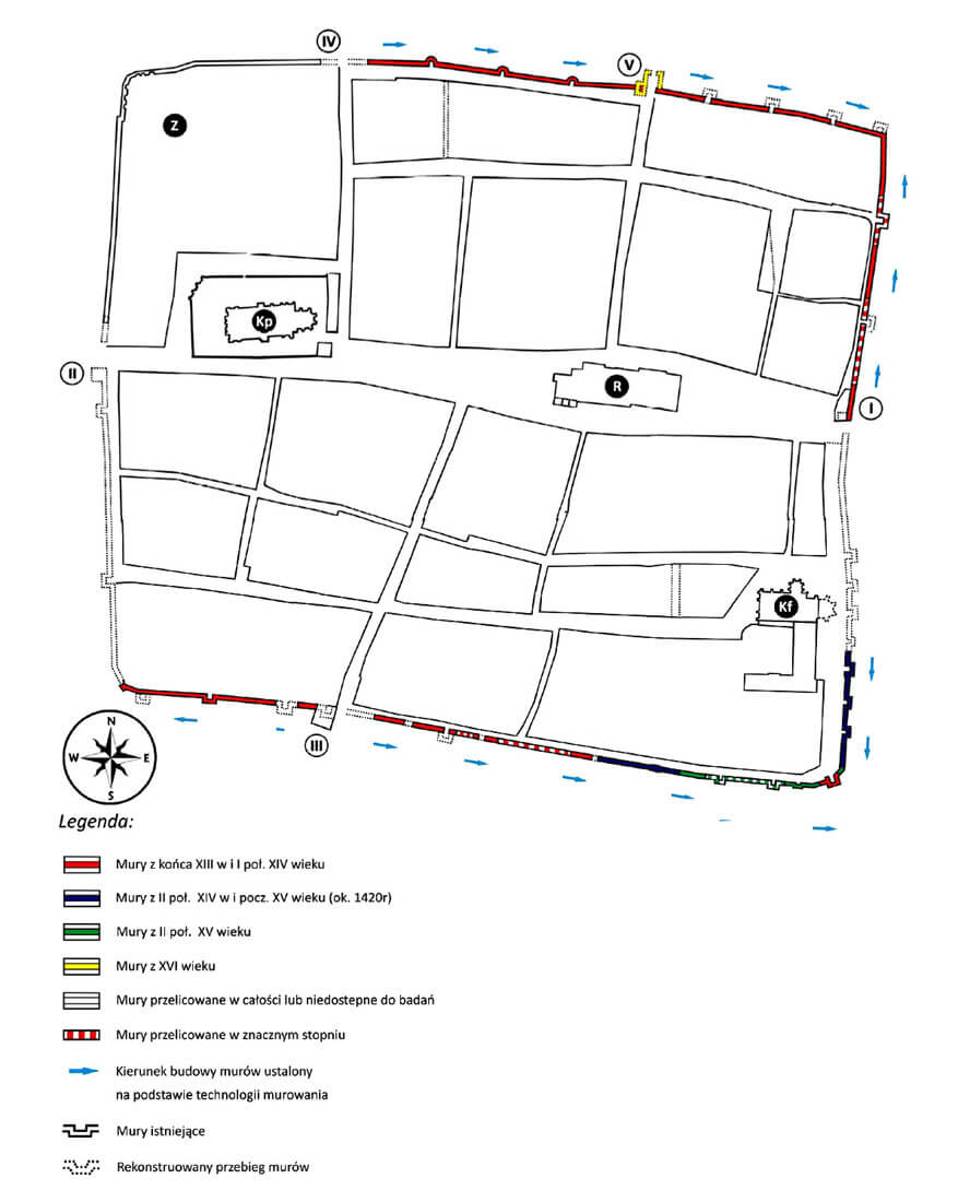
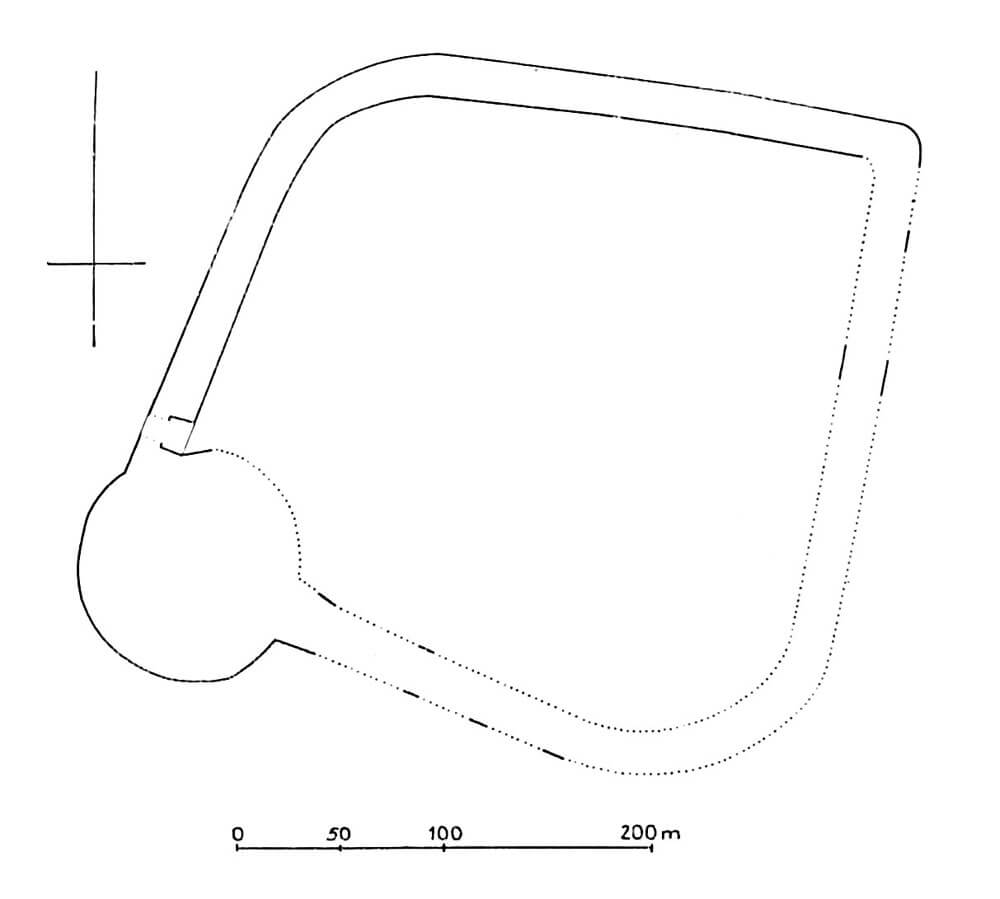
Środa Śląska was founded on the eastern bank of the small Średzianka River. Due to the lack of major natural obstacles such as hills, marshes, or large bodies of water, the town’s plan was regular, square-like, with sides approximately 400 meters long. Środa was divided into two roughly equal halves by the east-west road from Wrocław to Legnica, which was widened in the central and eastern parts of the town to form a marketplace. A castle was situated in the northwestern corner of the town. A parish church was also located in the same quarter, but it was less than a hundred meters from the town walls. The opposite part of the town, near the southeastern corner, was occupied by a Franciscan friary, separated from the town walls only by an under-wall street.
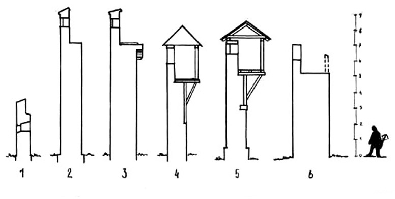
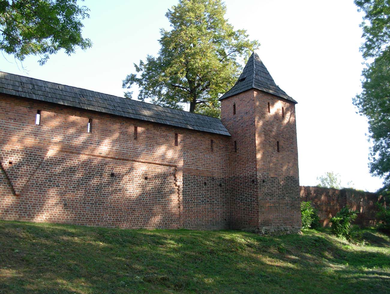
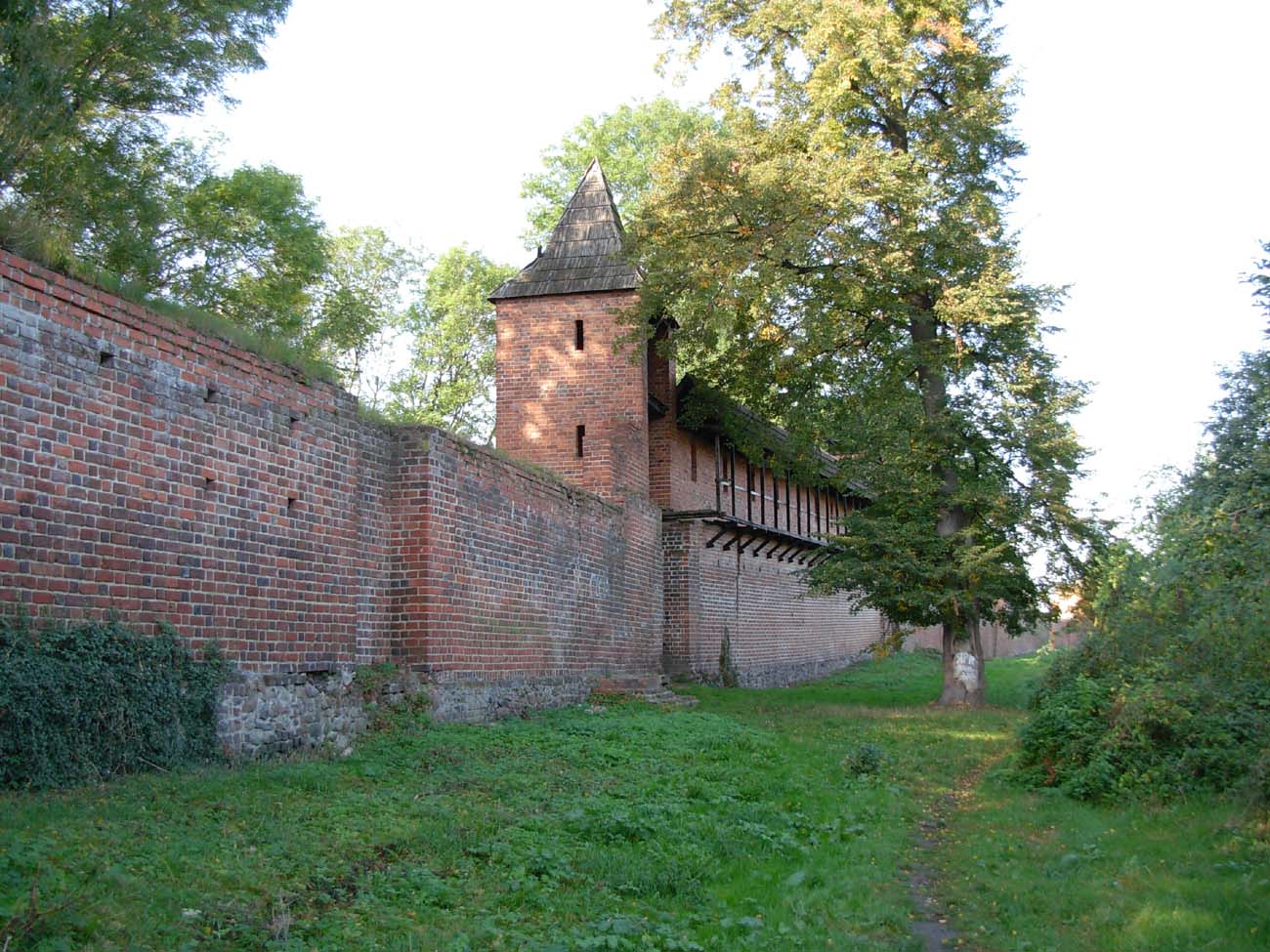
The defensive wall ran along the town limits, i.e., around the perimeter of a rectangle. It was built on a erratic stone foundation in Flemish bond, although the northern section was partially constructed with monk bond. Furthermore, considerable amounts of zendrówka bricks were used in some sections, placed with the black headers facing the face to create regular zigzag patterns. The curtains reached a height of 5.5 meters to the level of the wall-walk, but were only 1.2 meters thick. A further 1.5-2 meters of height was provided by the parapet. At the crown, it was topped with a porch, partly placed on the wall’s offset, and partly (due to the wall’s insufficient thickness) overhanging the inner side of the perimeter.
The defensive perimeter was reinforced by semi-cylindrical or quadrangular towers, spaced every few dozen meters and projecting out from the face of the adjacent curtain walls. By the end of the 16th century, there were 54 towers in total (including the gate towers). Several bartizans were also suspended from the walls on brick corbels. Initially, the towers were the same height as the walls and opened to the town. Only the corner towers were closed, but later most of the towers were raised to significantly exceed the top of the walls. Some were also enclosed by rear walls. They were illuminated by at least three narrow slit openings (one on the axis and two on the sides).
In front of the walls, a parallel moat ran, 5-6 meters deep and several meters wide. In some places along the perimeter, such as on the southern side, there was a double line of ditches, but it is uncertain whether the outer ditch was created in the Middle Ages. Additional protection may have been provided by the Średzkianka River flowing on the western side of the town, and its smaller branch, which spilled into a small pond. Despite the moat being adjacent to the river, its ditch was probably not filled with water except during periods of heavy rainfall or snowmelt.
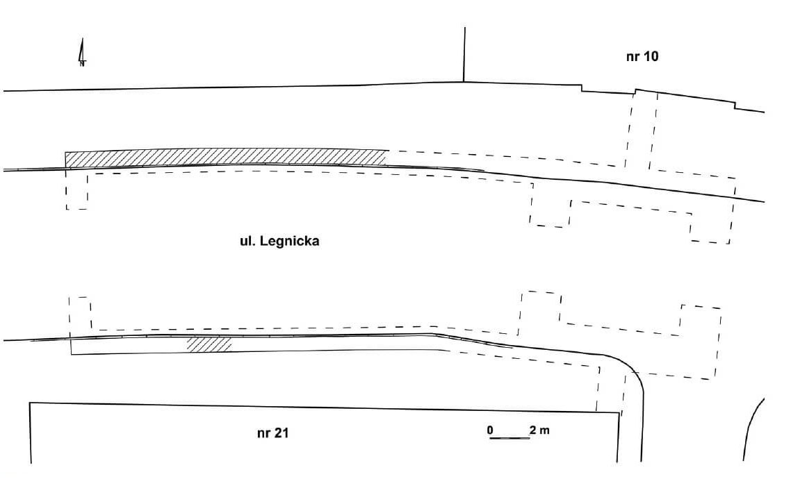

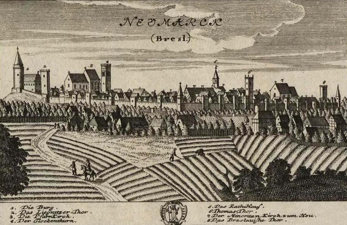
Five gates led to the town: Wrocławska from the east, Legnicka from the west, Świdnicka, also known as the Saint Thomas Gate from the south, Butchery Gate from the north and the fifth one was the result of the rebuilding of the wicket, called Bakery or New Gate. In 1536 a tower 5×5 meters with a foregate 11.5 meters long was added to it, leading to the gardens and fields north of the town. The main gates were either in four-sided gate towers or were pierced into the wall and flanked by nearby towers. Later, they were preceded by foregates in the form of the gate’s necks extended towards the moat. Additional protection could have been Średzka Woda river flowing on the west side of the town and its smaller branch spilling into a small pond. The Wrocław Gate achieved its most extensive form at the end of the Middle Ages. It was to consist of the main building (tower) of the gate, the foregate and the building adjacent to the foregate from the north-east. The Legnica Gate was to consist of two elements: a tower with an almost square plan and external dimensions of 9.5 × 10 meters and a foregate adjacent to the west, about 28 meters long and about 10 meters wide. For comparison, the foregate of the Butcher’s Gate had a total length of over 14 meters, and the internal width of 4.8 meters.
In the north-west corner of the defensive circuit there was a castle connected with the town walls, measuring 32×30 meters. Although it was in the lowest part of the town, it clearly rose a few meters above the surrounding area. From the east and south, i.e. from the town, it was separated by a ditch, while the town moat protected it in the other two directions. The main element of its defense was a stone, massive cylindrical tower with a diameter of 10 meters, located in the south-west corner, where the fortifications came at the slightest angle. It was connected to a stone wall with a thickness of 2.5 meters in the ground floor (above about 2.2 meters) and an estimated height of about 9 meters. The original residential and economic buildings of the castle were probably wooden, only the courtyard was paved. It is not known exactly where the entrance gate was, it is only certain that it did not lead from the town side, so it had to lead either from the north or from the west.
At the end of the thirteenth century, due to the construction of the town walls and their connection with the castle fortifications, the level of the land was raised, because a significant earth shaft was made under the walls. This in turn forced raising the embankment surrounding the castle, and then raising the level of its courtyard by bringing a thick layer of clay. The next stage in the fourteenth century was the construction of a brick residential building at the west wall and a second building of unknown purpose at the east wall. There was also a well in the courtyard.
Current state
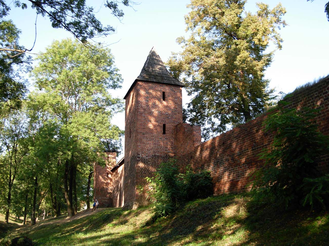
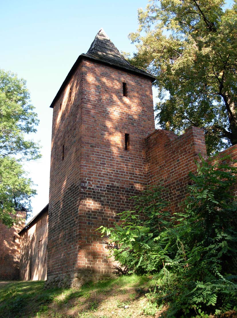
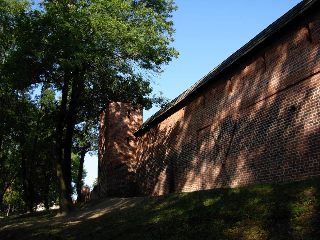
Today, the defensive walls of Środa Śląska have survived for about 1700 meters, but most of them are heavily reduced. At best they survived in the northern and southern sections of the circumference. Especially impressive could look south fragment where some reconstructed towers are located, but unfortunately these fortifications are terribly neglected. Of the castle fortifications, only the few meters high walls and the main tower have survived.



bibliography:
Borowski G., Legendziewicz A., Mury miejskie w Środzie Śląskiej w świetle badań architektoniczno-archeologicznych, “Śląskie Sprawozdania Archeologiczne”, tom 60, część 2, Wrocław 2018.
Katalog zabytków sztuki w Polsce, tom IV, zeszyt 5, województwo wrocławskie (dolnośląskie), powiat Środa Śląska, red. E.Kołaczkiewicz, Warszawa 2014.
Kozaczewski T., Środa Śląska, Warszawa 1965.
Przyłęcki M., Mury obronne miast Dolnego Śląska, Wrocław 1970.