History
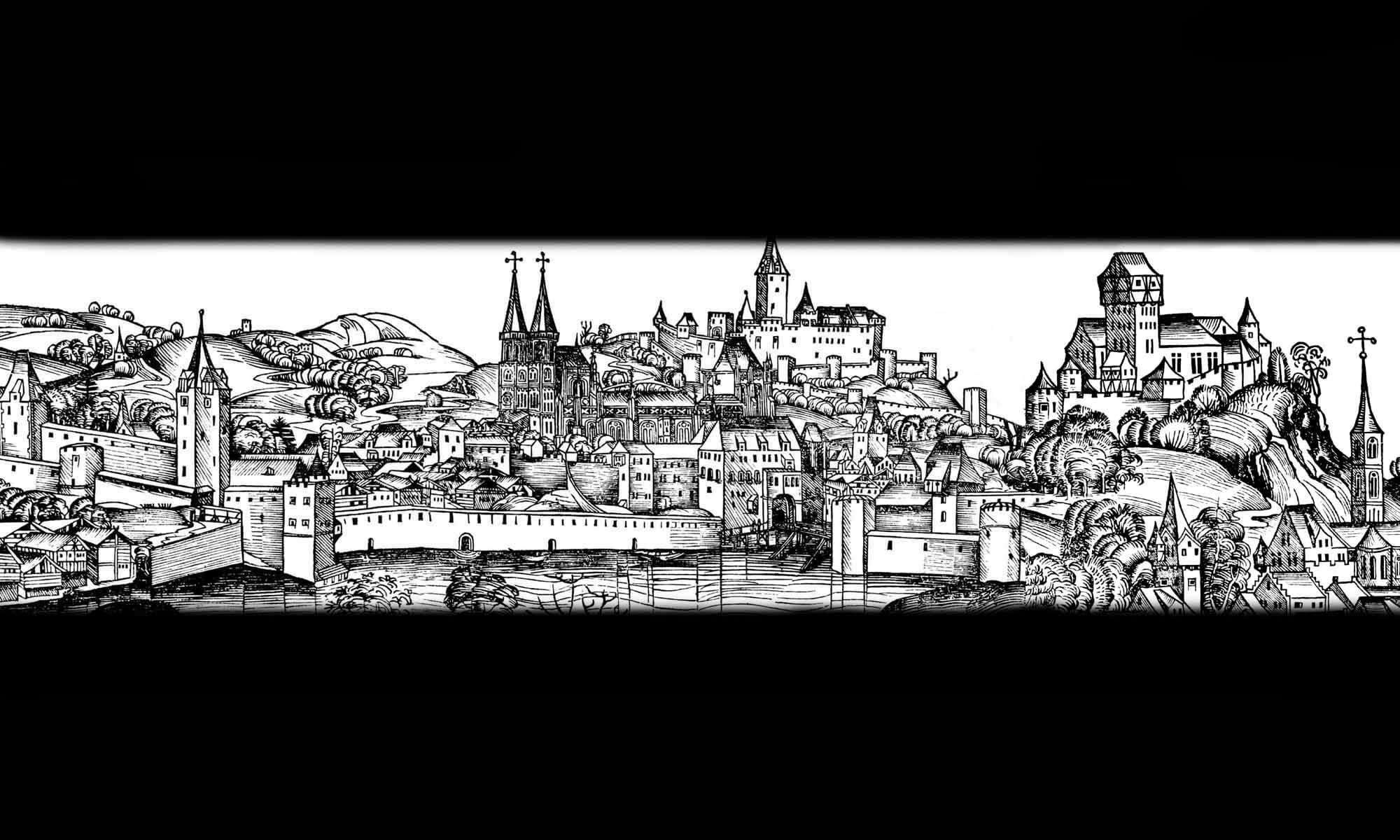
The construction of the defensive walls in Chełmno (German: Kulm), known in the Middle Ages as Colmen, Culma or Culmen, began in the second half of the 13th century. Although the town was founded in 1233 near the Teutonic Castle of Starogród (German: Althausen Höhe), it was moved several kilometers further north-east, to the site of the later settlement of Rybaki, in 1239. Then, a few years, after being burned down during the battles with the Pomeranian Prince Świętopełk in 1244, Chełmno was relocated again, this time to a safer nearby hill. In 1251, at their own request, the townspeople received confirmation of privileges from the German Land master Eberhard von Sayn. In the document, the defense matters of Chełmno were handed over to the townspeople, while the Teutonic Knights limited their activities in the town, and with time they completely withdrew from it.
The record from 1267, written in connection with the granting of town plots to the Cistercian nuns, recorded that the townspeople then began construction work on brick fortifications, perhaps built on the site of earlier wooden and earth fortifications. It is uncertain whether the Teutonic Knights’ defensive manor, which was connected to them, was built earlier or later, but the Teutonic commander of the New Chełmno resided in the town only until around 1285. In the first quarter of the 14th century, the town walls were first raised, taking advantage of the period of prosperity that followed the end of the wars with the Prince of Pomerania and Prussian tribes, along with the development of transit trade with Poland, Hungary, and Ruthenia.
In 1410, following the Teutonic Knights defeat at Grunwald, Chełmno surrendered to the Polish king, but returned to the Order’s control after the unsuccessful siege of Malbork. In 1454, the town joined the uprising against the Teutonic Order, which initiated the Thirteen Years’ War. It sustained military expenditures until 1457, when, despite strong fortifications, it was captured by Teutonic mercenary troops under Bernard Szumborski. Although Szumborski died in 1470, the mercenaries remained in Chełmno until 1479, exerting a heavy rule over the townspeople, ultimately leading to impoverishment and partial ruin. In 1505, King Alexander Jagiellon granted the town to the Chełmno bishops, which resulted in further financial burdens and a restriction of municipal government.
In the second half of the 16th century, the town entered a period of renewed economic development and improved prosperity. As a result, in 1563 the town’s fortifications were repaired and the walls were once again raised, with the consent of King Sigismund Augustus, who allocated excise tax revenues for this purpose. However, by the first half of the 17th century, the town had already fallen into decline due to the Polish-Swedish wars and numerous epidemics. Despite the development of artillery and the general decline of the city’s fortifications, Chełmno’s defensive wall was renovated in 1678. Repairs were continued throughout the 18th and 19th centuries, although by then they no longer had any military significance. However, in the years 1860-1870, to improve communication, demolition work was carried out on all gates except Grudziądzka, as well as a section of the walls south of it and on the northern section of the perimeter.
Architecture
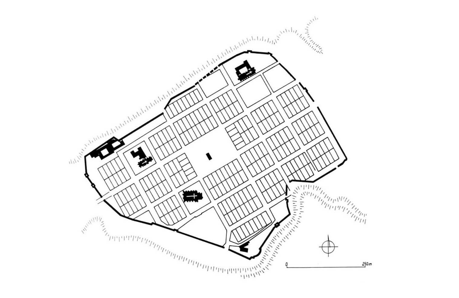
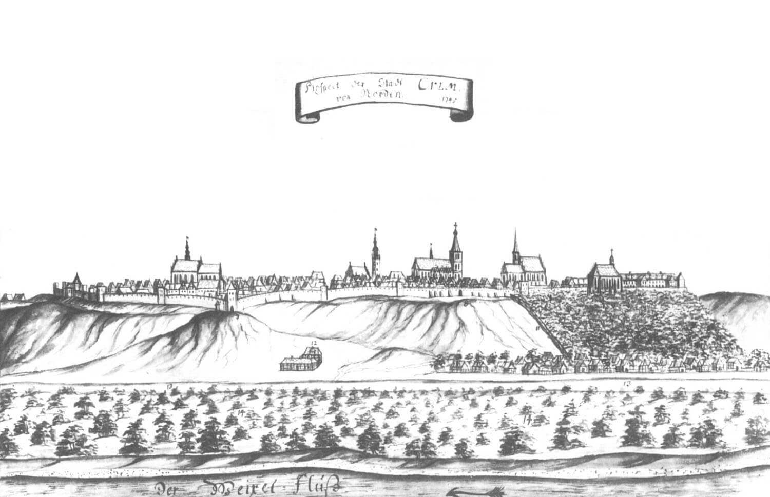
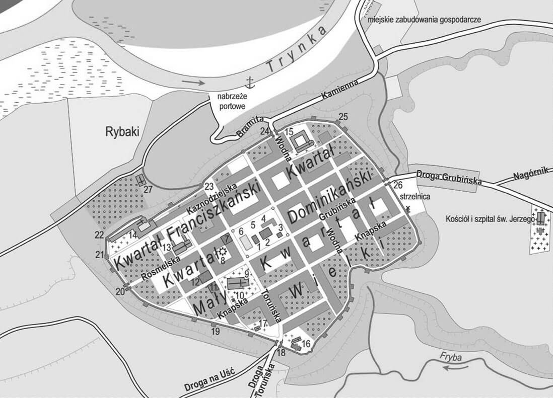
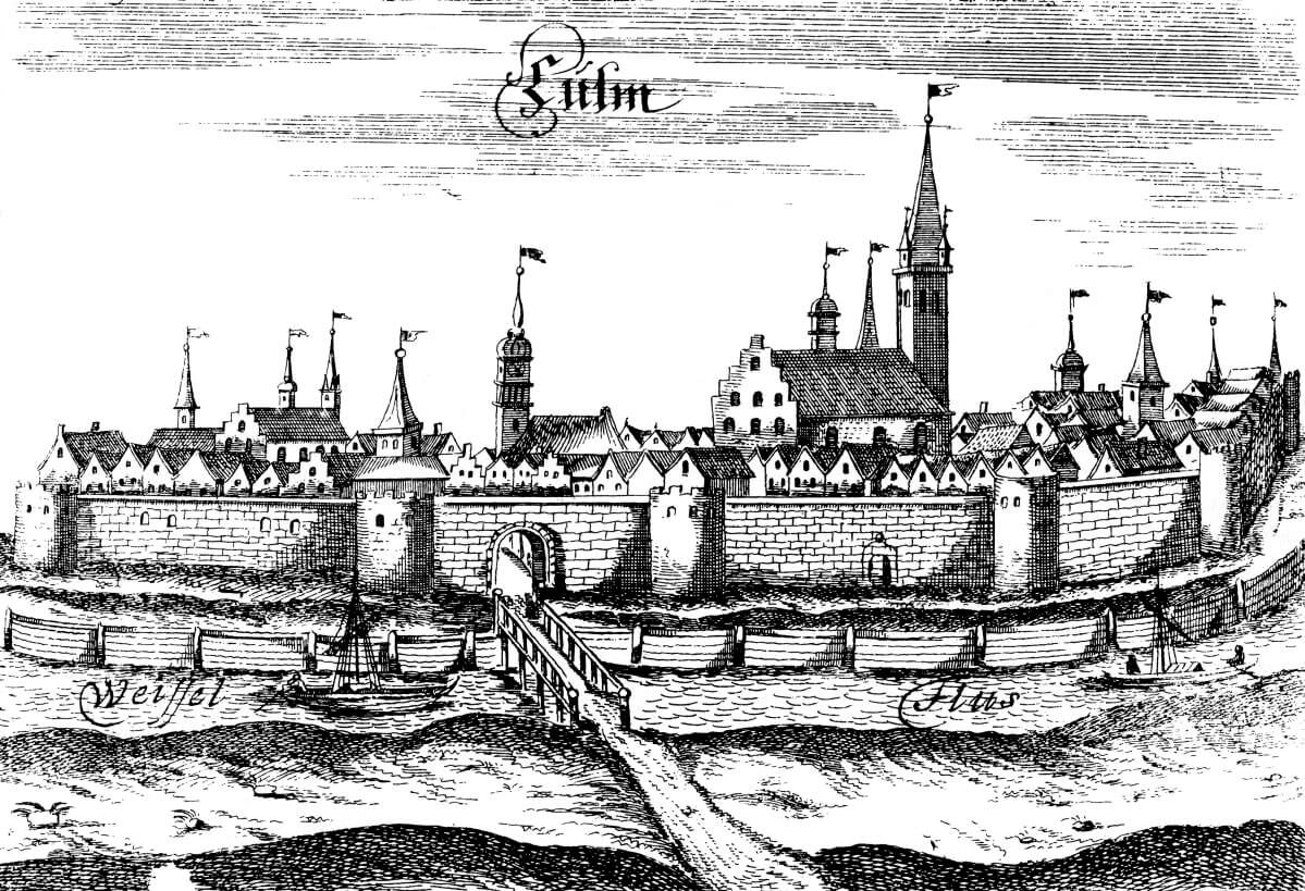
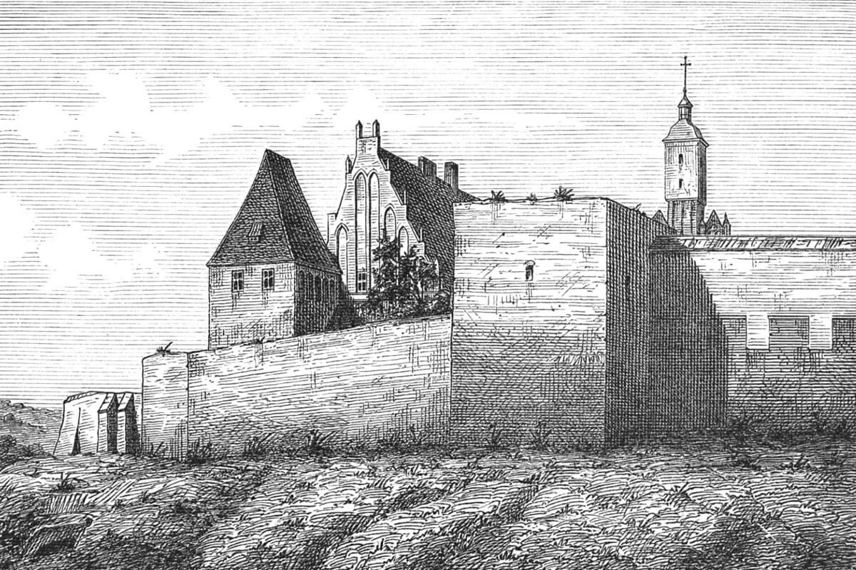
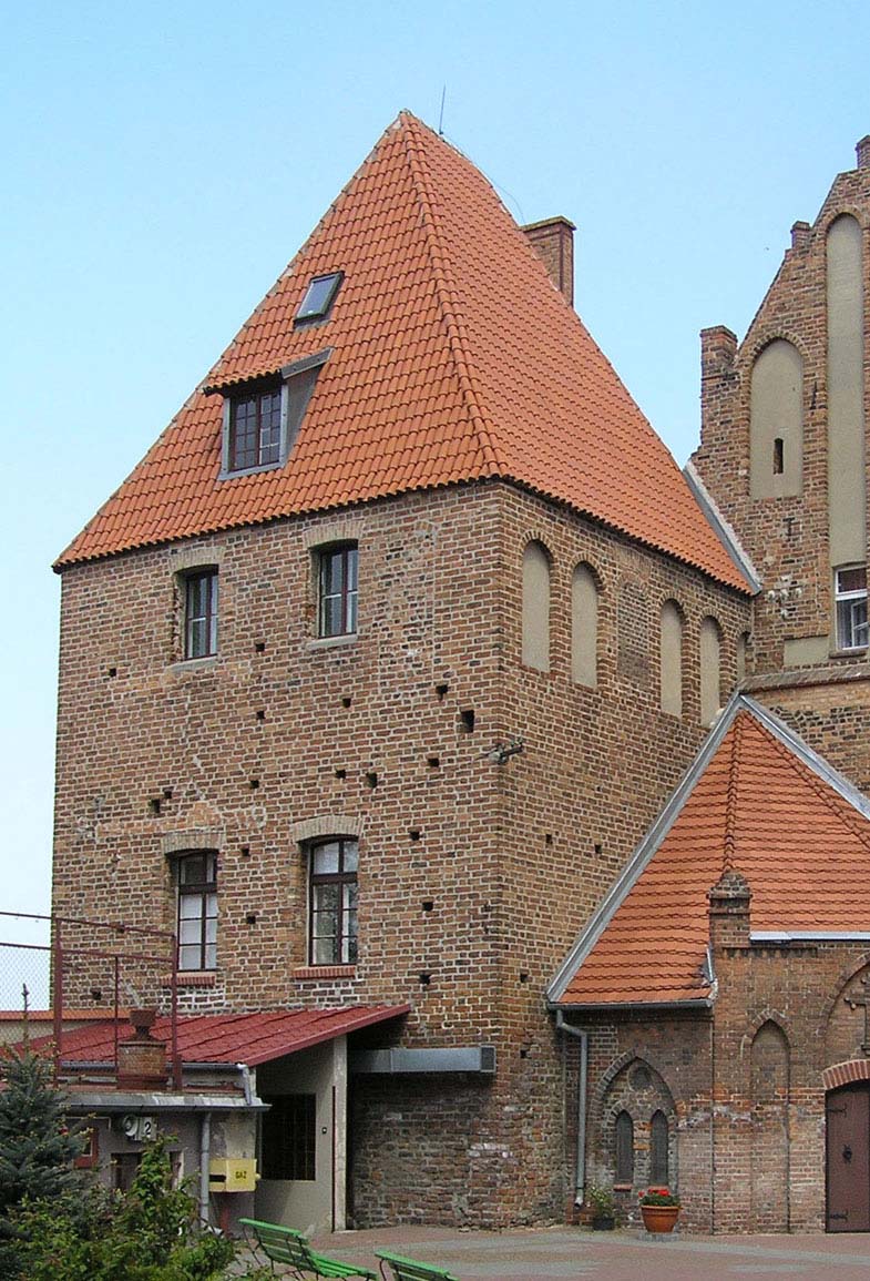
The perimeter of the defensive walls was established on an irregular plan, adapted to the shape of the hill. The fortification ring was led along the edges of the plateau and the Vistula escarpment, using excellent, natural defensive conditions. The course of the walls wherever possible was carried out in straight sections. In the more easily accessible places, i.e. from the east and west, the ditch was dug. In addition, above the steep slope, the westernmost corner of the town, there was a Teutonic court connected with the fortifications of Chełmno. After founding a Cistercian monastery in the second half of the 13th century, it was merged into a complex of conventual buildings, constituting an extension of the main enclosure wing with a four-sided, three-story Mestwin Tower in the corner (the former gate tower of the court). The wall also bordered a Dominican friary on the northeastern side and a hospital with the church of the Holy Spirit in the southern corner. On the town side was an under-wall street along most of perimeter. Furthermore, communication in the event of a threat may have been facilitated by the fact that in the Middle Ages the peripheral plots were not built on, but were occupied by gardens and orchards.
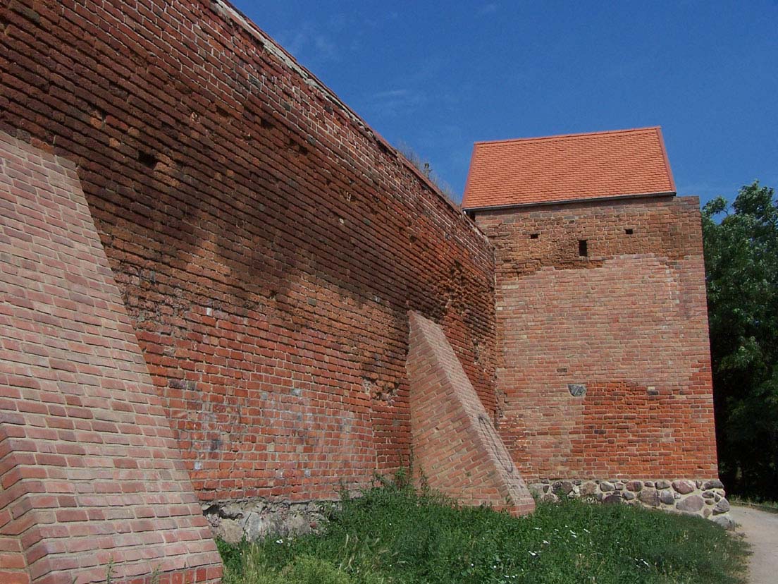
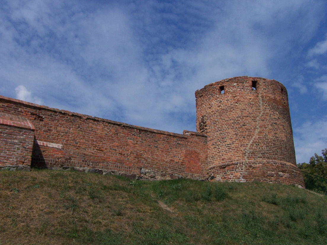
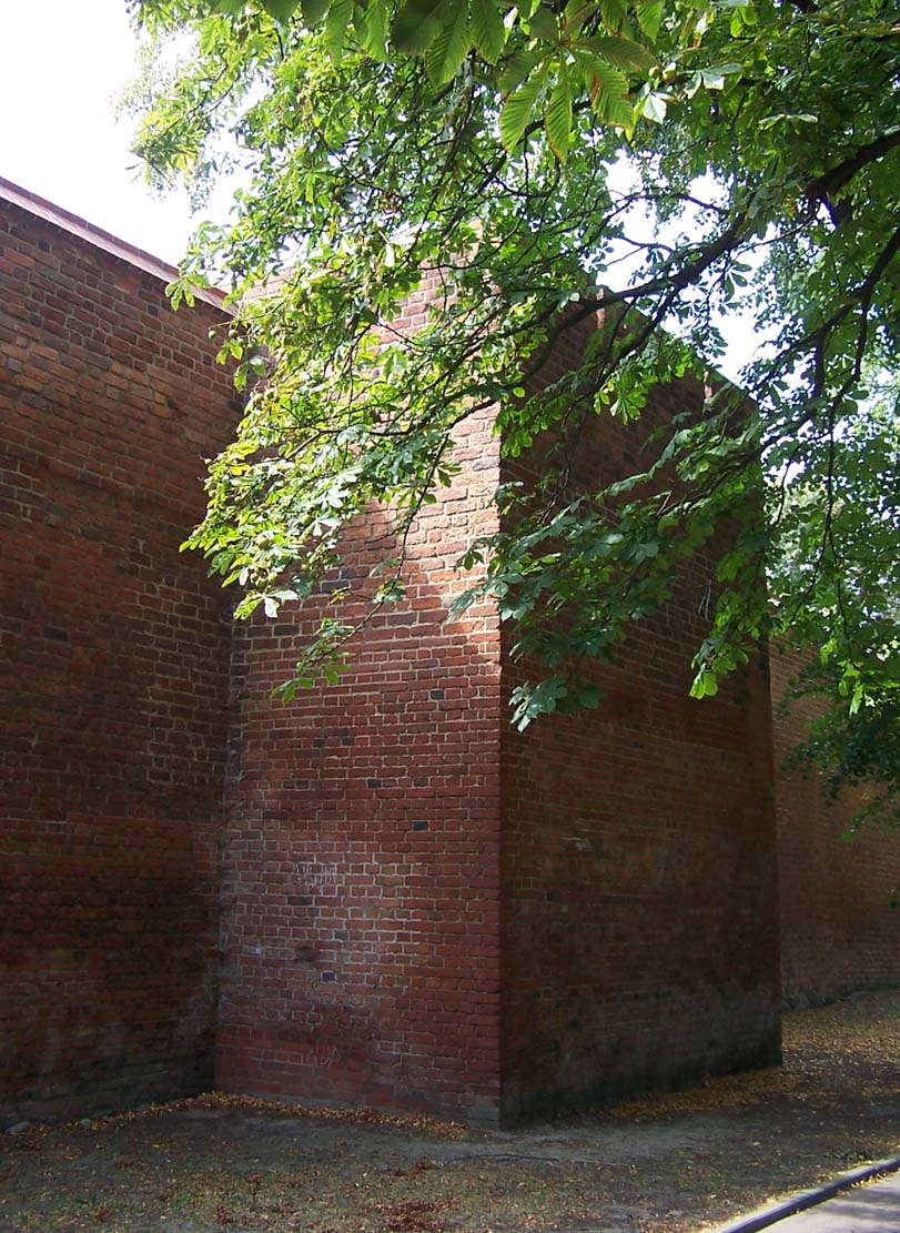
The length of Chełmno’s defensive perimeter was over 2,300 meters. The defensive wall was built of bricks in the monk bond, on a foundation of erratic boulders. Due to its thinness, averaging about 0.9 meters, the wall-walk had to be built on a wooden porch, formed of beams set in sockets and on an offset. The original wall, with an unknown crown, was raised in the first quarter of the 14th century. From then on, the defenders were protected by a parapet approximately 0.5-0.6 meters thick, with merlons approximately 2-2.4 meters wide, spaced approximately every 1-1.1 meters (this battlement was bricked up when the curtain walls were raised again at the turn of the 15th and 16th centuries and in the second half of the 16th century). In some sections, the battlements were equipped with loopholes.
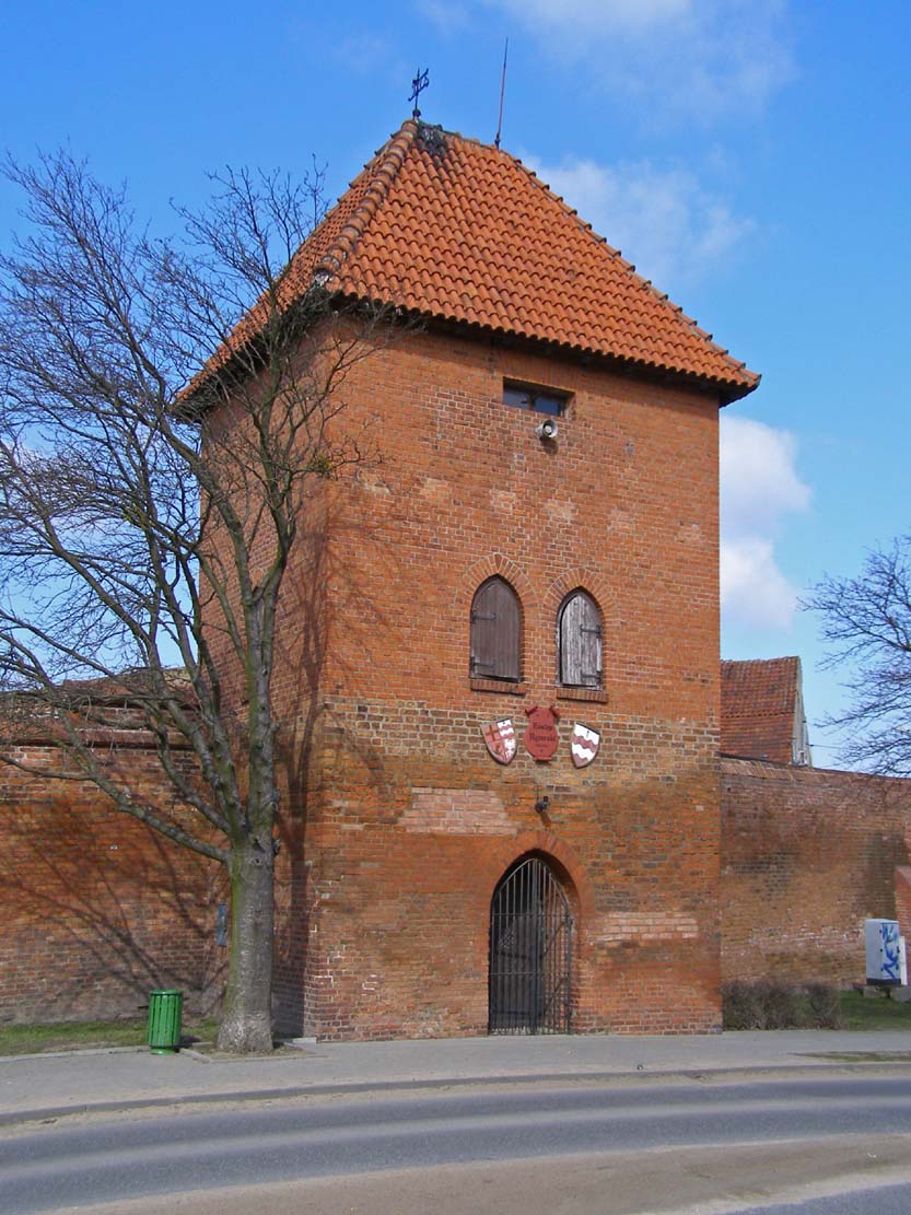
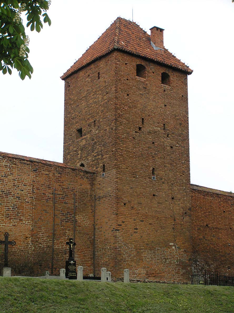
The town had 25 or 27 towers, presenting various types. Of these, 18 towers were erected on a rectangular plan. They were protruding from the face of the wall and opened from the town side, in order to reduce construction costs, speed up building process and provide protection in the event of capture by attackers. The division into floors was provided by timber, flat ceilings embedded in side holes, enabling access to arrowslits. Five towers were built on the semi-circular plan, all in the southern part of the perimeter. The arrangement of the towers was not regular, they were more densely located on the more vulnerable fragments of fortifications. Many of them were erected on the southern side, where the slopes of the hill were relatively gentle, also on the flat (though protected by ditch) the north-east side, the spacing between them was not large. In the later medieval times part of the half-towers (opened from inside) were walled up from the town side, placing rooms necessary for the town (e.g. the Powder Tower).
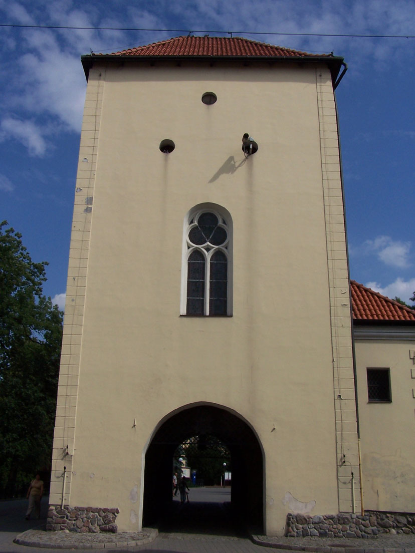
Access to the town was made possible by the gates located at the outlets of the main streets: Fishery and Water gates on the north-west side, Grudziądzka (Grubińska) gate from the north-east, Franciscans Gate on the west, Bridge Gate from the south-west, Toruńska Gate (Holy Spirit Gate) in the south and the less significant Weaving Gate in the south-east. In addition, there was also a Merseburg Gate recorded in the documents, that is difficult to determine (perhaps it was identical to the Mestwin Tower, originally equipped with a gate passage). A significant section of the perimeter on the southern side and partly from the east did not have access to the town. Grudziądzka and Toruńska gates were preceded by foregates, the former also had a drawbridge together with the Weaving Gate, due to its location in front of the ditch. All gates were placed in four-sided towers with passages in the ground floor.
Current state
Chełmno, as one of the few Polish towns, can boast of an almost fully preserved circumference of the medieval defensive walls. It is currently 80% of their original length with 23 towers preserved. The most interesting of these are: Powder Tower where the archaeological section of the Chełmno Land Museum is located, Dominican and Virgin Towers, where the seat of the Knight’s brotherhood of Chełmno is situated. Until today, the Grudziądz Gate, located on the eastern side of the town, has been preserved, thanks to the sacral function it has performed since the 17th century and partly the Merseburg Gate within the monastery complex. In the north-western part of the town, at the post-Cistercian monastery, the so-called Mestwin Tower is located. It comes from the second half of 13 century (raised at the turn of the 13th and 14th centuries) and most likely is a part of the former Teutonic residence.

bibliography:
Architektura gotycka w Polsce, red. T. Mroczko, M. Arszyński, Warszawa 1995.
Atlas historyczny miast polskich, tom I, Prusy Królewskie i Warmia, red. A.Czacharowski, zeszyt 3, Chełmno, Toruń 1999.
Chrzanowski T., Kornecki M., Chełmno, Wrocław 1991.
Die Bau- und Kunstdenkmäler der Provinz Westpreußen, der Kreis Kulm, red. J.Heise, Danzig 1887.
Katalog zabytków sztuki w Polsce, t. XI, województwo bydgoskie, zeszyt 4, powiat chełmiński, red. T. Chrzanowski, M. Kornecki, Warszawa 1975.