History
The castle called Karpień (German: Karpenstein) was built in the early 14th century, perhaps on the site of an older stronghold. It was first recorded in documents in 1346 (“das hus Carpenstein”). In the 14th and 15th centuries, it was the seat of the noble families ruling the feudal estate, covering the area of the Biała Lądecka River valley and its tributaries. Located in a strategic location, it also guarded several passes through which trade routes ran, including one of the most important, from Wieliczka to Prague, later called the Salt Road.
In 1346, King John of Luxembourg gave the castle fief to a certain Tommo von Gloubos. In 1354, Charles IV gave the castle to his brother, Margrave John of Moravia. Then Karpień was owned by the Talwitz, Parchwitz and Niemanitz families. In 1428 it was destroyed by the Hussites, and in the following years after its reconstruction it became the seat of the raubritter Hink Kruszyna from Lichnice. In 1443 the castle was captured by the Prince of Opava-Ziębice, Wilhelm, at the head of the troops of the Silesian towns, but it continued to serve as a seat of robbers. It was finally destroyed only in 1513 and was not rebuilt again.
Architecture
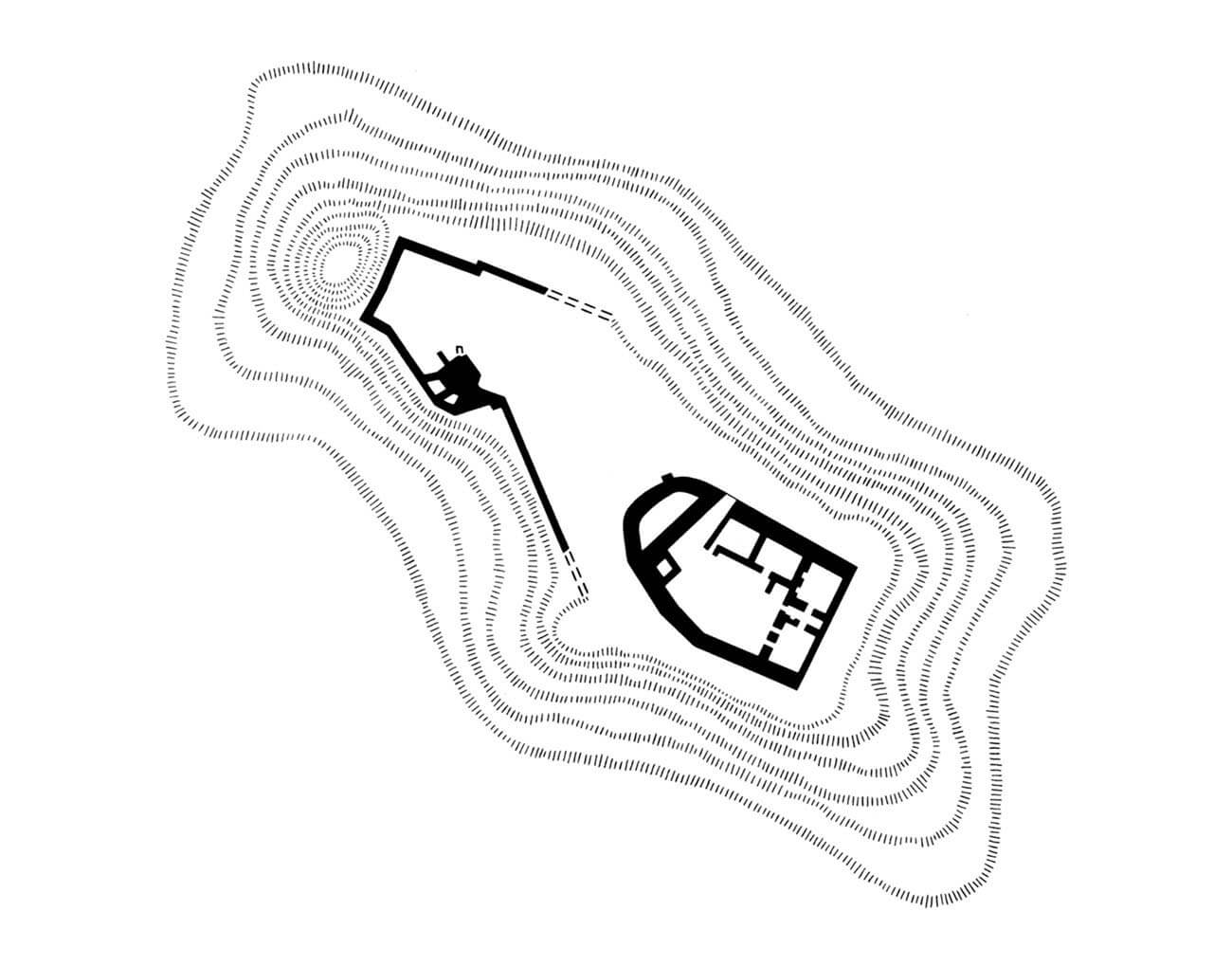
The castle was located in the eastern part of a rocky, elongated mountain called Karpiak, reaching a height of 782 meters above sea level. High slopes provided the greatest protection from the eastern side. Also from the north and south, very steep slopes made impossible to approach the castle, to which the access road had to lead from the west, where the hillside gradually descended over a larger area.
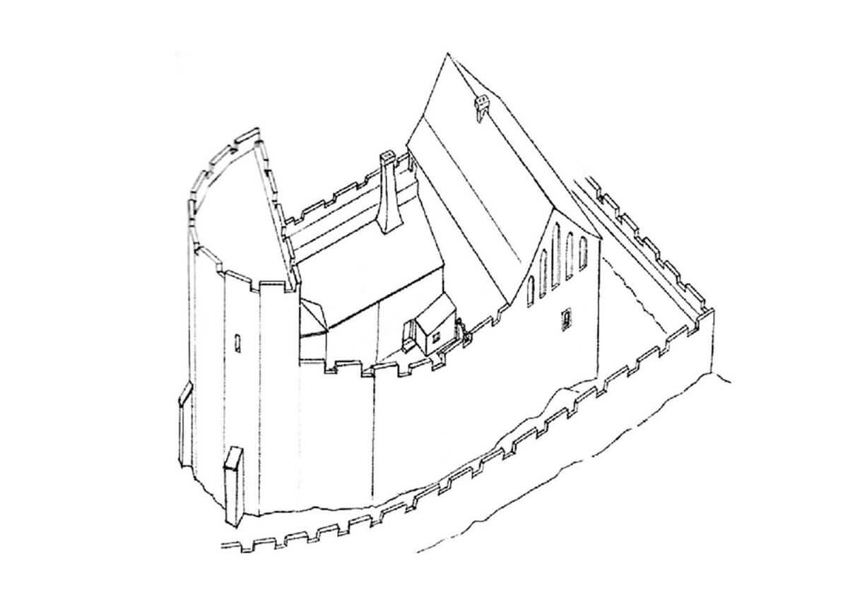
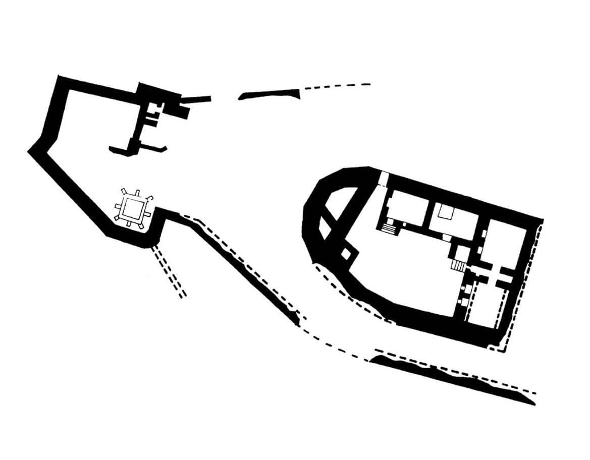
Karpień consisted of the upper ward and the slightly lower bailey located to the west of it. The whole occupied an area of approximately 30 x 74 meters, with the north-western part narrower than the south-eastern one. The outer bailey had its own fortifications, which could also tightly encompass the upper ward, creating a zwinger on three sides. Due to the difference in ground level, the two parts of the castle were probably not divided by a transverse ditch.
The upper ward was a quadrangle, rounded on the north-western side. The main castle house formed the eastern part of the perimeter, and by the northern wall there was a two-room building adjacent to the west with a narrow gate. The main house was also divided in the ground floor into two rooms of comparable size, but it were separated by a narrow passage connected to the courtyard. In the 15th century, a semicircular building was added to the western corner, probably of a defensive, tower-like form.
Current state
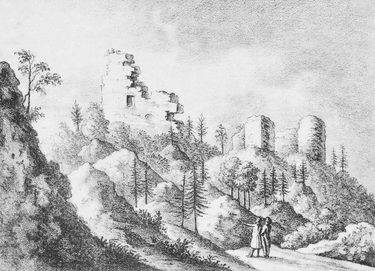
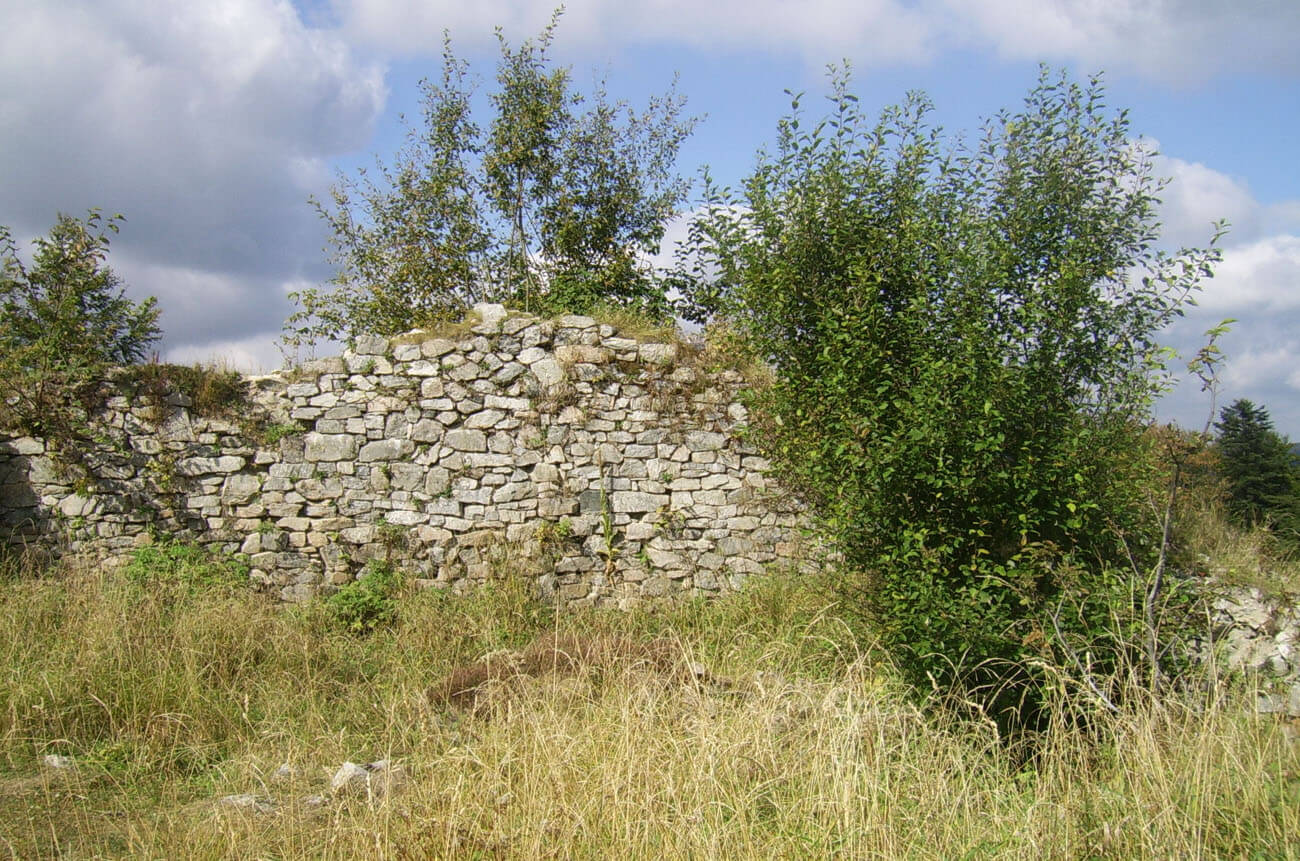
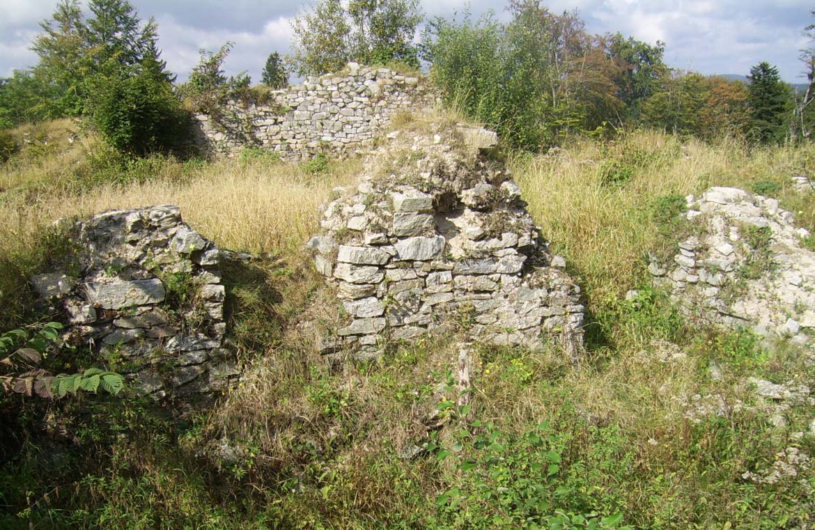
Only fragments of the stone walls of the ground floor have survived to this day. The division of the building into the upper ward and the outer bailey is clearly visible. In the higher part, the walls of the western, rounded front and fragments of two eastern residential buildings are the highest. Even in the interwar period, there were windows and portals in them, but today are almost completely destroyed. Admission to the castle area is free. The blue tourist trail from Lądek-Zdrój leads to it.
bibliography:
Chorowska M., Rezydencje średniowieczne na Śląsku, Wrocław 2003.
Leksykon zamków w Polsce, red. L.Kajzer, Warszawa 2003.

