History
The first record of the castle of the bishop of Dorpat dates from 1322, when it was destroyed by the army of the Grand Duke of Lithuania Gediminas. At that time it was a roadside watchtower guarding the southern trade route from Dorpat to Ruthenia and the eastern border of the Dorpat bishopric. Because of its frontier location, the castle was repeatedly besieged and demolished, both by Lithuanian and Ruthenian armies. Like the entire bishopric of Dorpat, Kirrumpäh was destroyed in 1558 by the army of Ivan the Terrible, but the castle itself was saved from the final demolition by the local population, thanks to which it took part in the struggle in 1656 and 1701. At the latest from the beginning of the 18th century it was in ruin, its remains unfortunately served as a source of building material, with the expansion of the modern city of Võru.
Architecture
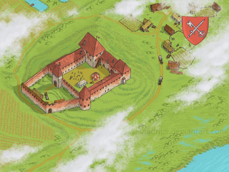
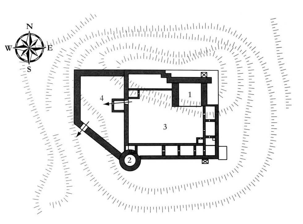
The castle was built on a low, oval-shaped hill, situated between two riverbeds connecting in the west. In original form, it consisted of a massive quadrangular tower house and a courtyard located to the south-west of it, surrounded by a wall, with a plan close to a square measuring approximately 45 x 42 meters. The outer bailey located on the western side could initially have had only light fortifications.
The castle buildings were added to the southern and eastern curtains, and the space on the northern side between the main tower and the western curtain was also filled with an elongated house. A quadrangular gatehouse was located by the western curtain, protruding into the foreground, and from the second half of the 15th century located inside the outer bailey. The layout of the rooms probably followed the pattern most commonly used in the Middle Ages, with the ground floor intended for utility purposes and a residential and representative floor. The castle must have also had a chapel, initially perhaps located on the floor of the tower house or in the gatehouse (following the example of Teutonic Knights castles).
At the end of the 15th century, castle was rebuilt and a defensive wall of the western bailey was added to the previous fortifications, also and a cylindrical artillery tower was built, located in the south-western corner of the main part of the castle. It could control the entire southern foreground of the castle by fire, including the gate to the outer bailey, placed in a specially diagonal led curtain. Probably at the end of the Middle Ages, additional buildings were also built to fill the courtyard by the defensive walls.
Current state
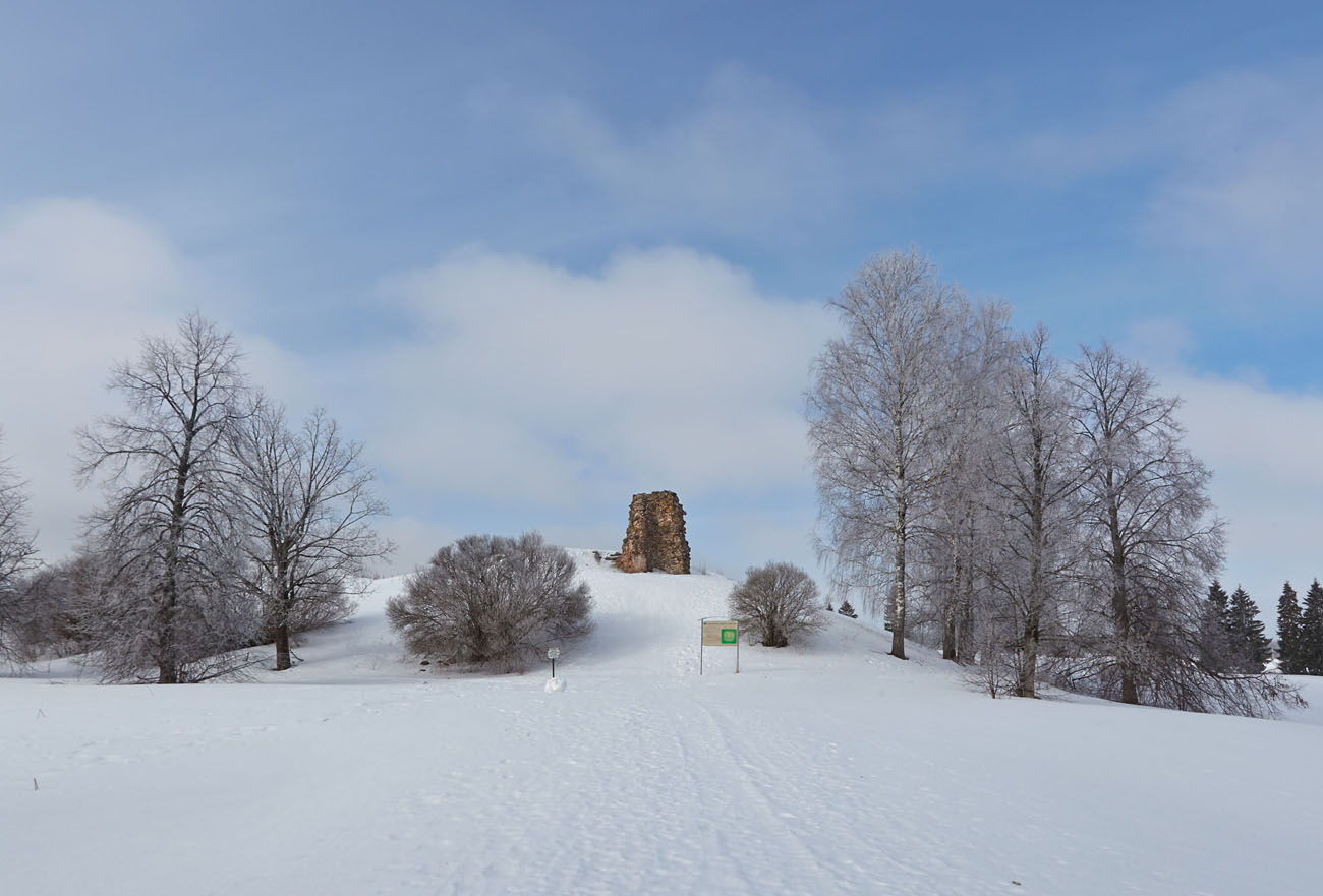
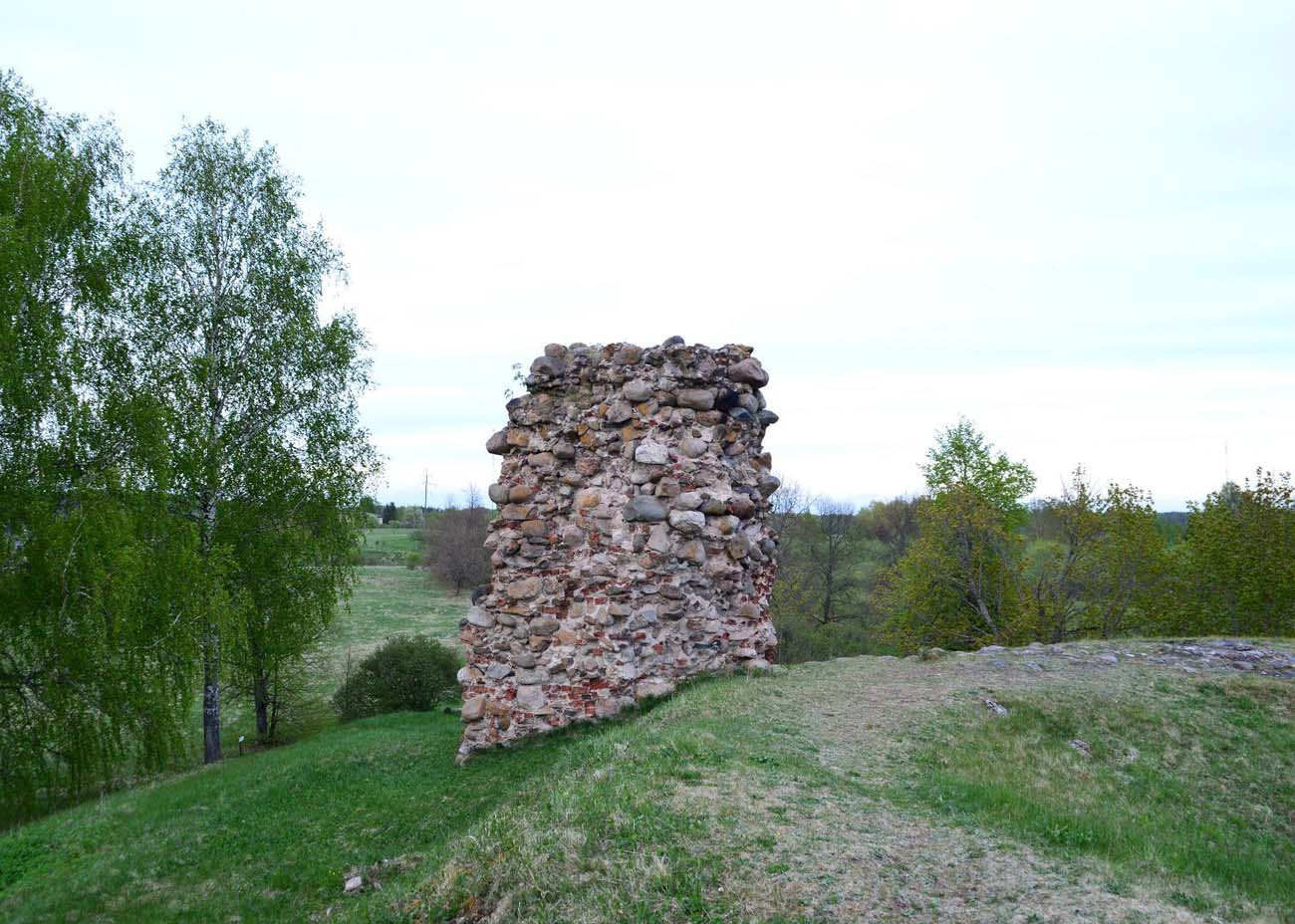
Today, castle’s existence is evidenced only by very modest, stone and brick relics of the wall, located on the edge of the hillside. Entry to the former castle is free. It is located behind the roundabout and bus stop on the northern side of the town of Võru, from where you have to turn at the sign onto a dirt road, which then turns behind a clump of trees.
bibliography:
Borowski T., Miasta, zamki i klasztory. Inflanty, Warszawa 2010.
Herrmann C., Burgen in Livland, Petersberg 2023.
Tuulse A., Die Burgen in Estland und Lettland, Dorpat 1942.


